Data ProductionArchitecture & BIM
Scan-to-CAD Documentation of Pied Chateau
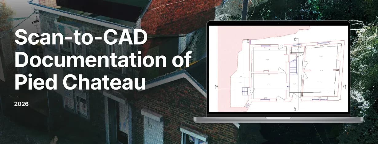
GIS-Point was engaged to process the laser scan data and produce accurate architectural drawings of the building.
Project snapshot
The company delivers industrial design, CAD modeling, and geodetic survey services, using 3D scanning and digital modeling on engineering projects.
- Location
- La Roche-en-Ardenne, Belgium
- Team
- BIM specialists and CAD technicians. They processed the point cloud data and produced the architectural drawings, working through the survey dataset together to keep the documentation consistent. The delivered set covers floor plans, sections, and façade drawings to the project requirements.
Stack
- Survey & CAD
- The project utilized Autodesk ReCap and AutoCAD for point cloud processing and preparation of architectural documentation. Internal cloud storage was used for secure data management and team collaboration.
The challenge, and what closed it
Technical challenge
The job was as-built documentation of an existing building on steep rocky terrain. The site conditions and the nature of the scan data called for close reading of the point cloud and detailed analysis of the building geometry. Main challenges: Challenging terrain: the building sits on a rocky slope near the castle, which gives it irregular floor levels and complex structural geometry. Dense interior scan data: the interior point cloud was full of furniture and objects, which made wall boundaries and structural elements hard to pick out. Building deformations: as an older structure it has visible geometric deviations, and the scan data had to be read carefully to produce as-built drawings that match. Working through these produced as-built architectural documentation that reflects the real condition of the building.
What we did
Processing and analysis of point cloud survey data. Creation of accurate floor plans, sections, and façade drawings. Preparation of structured architectural documentation for the project. Using the provided point cloud dataset, the team analyzed the existing structure and developed detailed floor plans, building sections, and façade drawings reflecting the current condition of the property. The project focused on transforming complex survey data into clear and structured documentation to support further architectural and engineering work
Why us
GIS-Point processed the laser scanning data to produce accurate as-built documentation of the building. The workflow focused on interpreting the point cloud dataset and converting it into structured architectural drawings reflecting the building’s current condition. Our process included: Importing and processing the point cloud data within the BIM environment to support the as-built documentation process Analyzing the existing building geometry and developing accurate floor plans and building sections based on the scan data Creating façade drawings and preparing coordinated architectural documentation reflecting the as-built condition of the structure
Results
As-built architectural documentation was produced from the laser scanning data: floor plans, sections, and façade drawings that match the building’s current condition.
What we delivered
Processing and analysis of point cloud survey data
Creation of accurate floor plans, sections, and façade drawings
Preparation of structured architectural documentation for the project