Data ProductionArchitecture & BIM
BIM Modeling of Frenchton Farmhouse
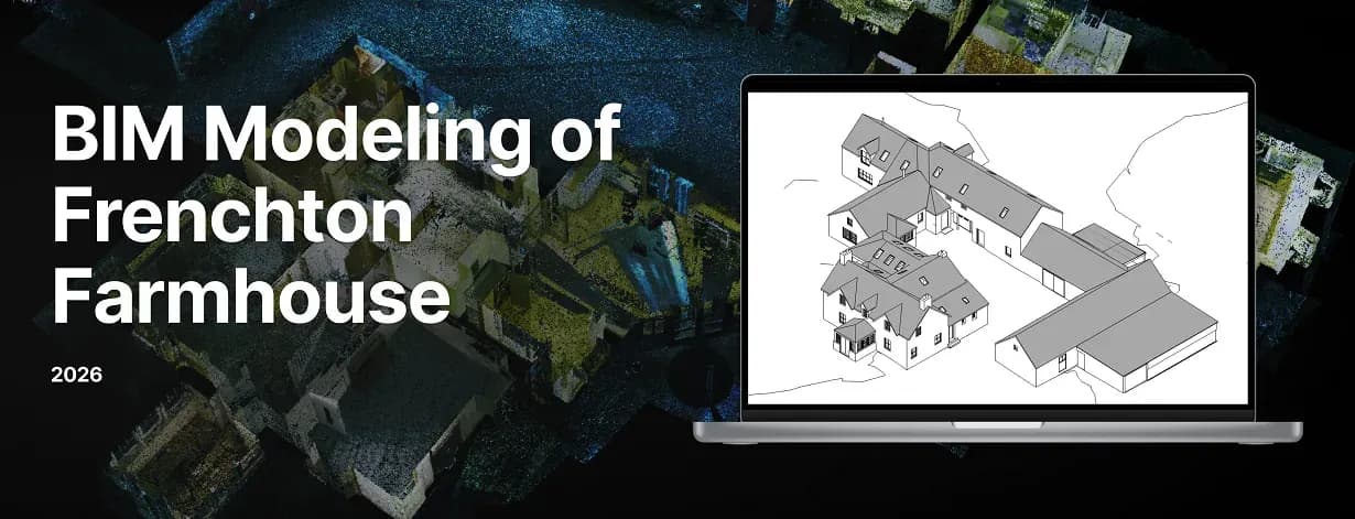
A Revit BIM model of a historic farmhouse at LOD 100–500, built from laser scan data: point cloud processing, building envelope and interior layout.
Project snapshot
A UK-based rural property consultancy providing surveying, land management, and design services to support property development and renovation projects.
- Location
- Perth, United Kingdom
- Team
- A team of BIM specialists with architectural and engineering backgrounds. They worked from the supplied point cloud, drawings, and photos to recreate the building geometry, staying in contact with the client as the model developed.
Stack
- Survey & CAD
- The project utilized Autodesk Revit, Autodesk ReCap, and AutoCAD for point cloud processing and BIM model development. Internal cloud storage was used for secure data management and team collaboration
The challenge, and what closed it
Technical challenge
The project involved modeling a historic building with complex architectural characteristics and irregular geometry, which required a high level of BIM expertise and careful interpretation of point cloud data. Key challenges included: Complex roof structure: Modeling roofs with multiple slopes, dormer windows, and rooflights. Mansard and attic spaces: Accurately representing sloped ceilings and roof-integrated windows. Irregular interior layout: Non-standard room shapes, varying ceiling heights, and different floor levels typical for historic buildings.
What we did
3D modeling of the existing building based on survey data. Creation of site topography using client-provided data. Development of a digital replica of the historic building.
Why us
GIS-Point processed the point cloud data and imported it into the BIM environment to build a digital representation of the existing building. Modelling covered the building envelope and the basic interior layout, taken from the scan data. Our process: Importing and processing point cloud data in Autodesk Revit. Building the BIM model of the building geometry from the scan data. Developing the site topography from the supplied CAD topographic survey. Checking accuracy and project requirements with the client as work progressed. The result is a digital representation of the existing building and site conditions that architectural analysis and design development can be based on.
Results
A precise digital BIM replica of the building was created at LOD 100–500 with an LOA of 20 mm, based on laser scanning data. The final Autodesk Revit model, comprising approximately 700 modeled elements, provides a reliable and ready-to-use foundation for renovation planning, architectural analysis, and further design development. The resulting 3D BIM model of the building and surrounding site provided a reliable basis for existing condition drawings, renovation planning, and documentation required for local authority approvals.
What we delivered
3D modeling of the existing building based on survey data
Creation of site topography using client-provided data
Development of a digital replica of the historic building