Clearing the GIS Production Backlog Before the Deadline
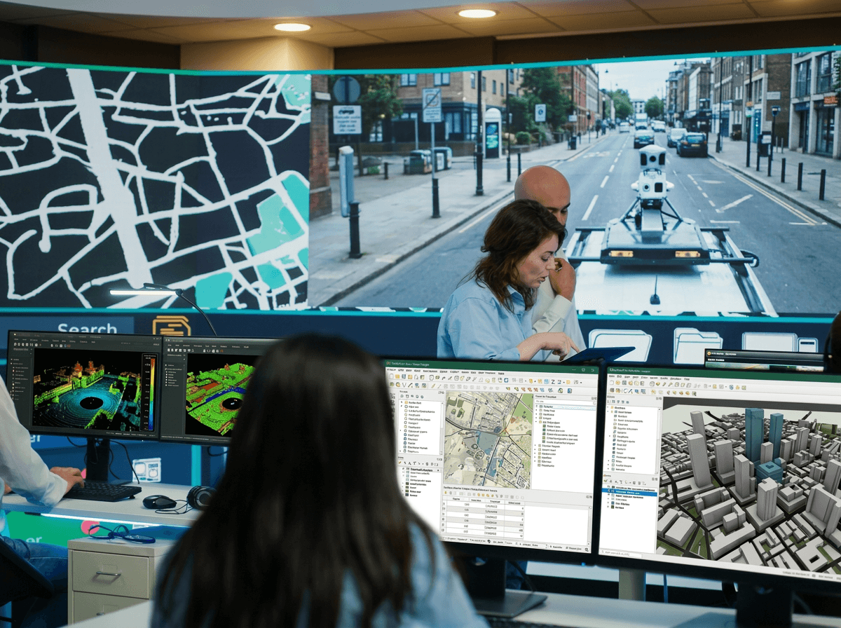
Surveying and GIS companies face the same squeeze: processing backlogs against fixed delivery dates, senior engineers absorbed in production work, seasonal volume that is impossible to staff for, and clients who now expect web delivery instead of file handovers.
The answer is one partner across production and engineering. Our production team returns classified point clouds in days, with terrain models, vectorisation, and CAD drafting to your specification; our engineers build white-label client portals, automated processing pipelines, and Esri-to-open-source migrations, connecting your field capture to client-ready deliverables, at under 7% rework.
How we work
UK-Registered Company
English-Law Contracts
GDPR Compliant
NDA from Intake
Secure Data Transfer
We know your pains
Six operational failures we see across this industry. If three of them are yours, we should talk.
Backlogs build against fixed delivery dates
Point clouds queue for weeks while client deadlines stay where they are. Every delayed deliverable is a relationship at risk.
Senior engineers absorbed in production
Your best people classify points instead of winning and managing clients. A capacity problem becomes a growth problem.
Seasonal volume impossible to staff
Peak season needs five engineers; the off-season justifies two. Hiring cannot follow the curve.
Desktop-only delivery caps what clients pay
Clients expect interactive web portals. File handovers undercut the value of the survey behind them.
GIS developer hiring keeps failing
Six-month searches return generic web developers. CRS, topology, and PostGIS get learned on your budget.
Esri licence costs scale against you
Per-seat pricing grows with the team. Open-source migration stalls without engineering capacity to execute it.
Trusted by




What we deliver for surveying & GIS firms
Two teams, one partner. The GIS production department processes your data to deliverable standard; the software department builds the platforms that put it to work.
“We would also like to emphasize the high level of cooperation and support provided by the GIS-point Ltd. team, which was a significant factor in the success of this project.”
“At all times we were kept up to date with progress images, and the final product has proved to be a very robust basis for our design proposals. We will definitely be working with GISPoint again in the future.”
Data Production
LiDAR & Point Cloud Processing
LiDAR & Point Cloud Processing
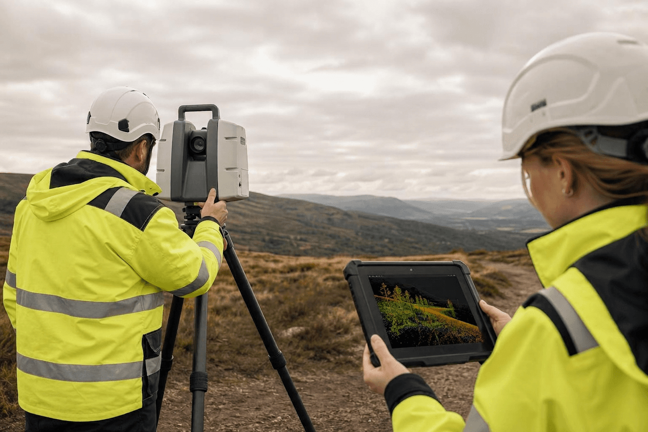
Raw scans become clean, classified point clouds your team can build deliverables from. Ground, vegetation, buildings, and powerlines separated, noise removed, mobile and bathymetric data processed to be analysis-ready, not raw. AI-accelerated, validated by a domain expert on every dataset.
Input: LAS / LAZ / E57
Output: Classified LAS / LAZ
Terrain Modelling (DEM / DTM / DSM)
Terrain Modelling (DEM / DTM / DSM)
The terrain surfaces your design, drainage, and planning work depends on, built from classified point clouds or survey data. Elevation, terrain, and surface models with contours and breaklines, in your CRS and format, ready to drop straight into your workflow.
Input: LAS / XYZ / TIN
Output: GeoTIFF / ASCII
Imagery Processing (Orthophoto & Mosaic)
Imagery Processing (Orthophoto & Mosaic)
Drone and aerial imagery turned into georeferenced, colour-balanced basemaps ready for GIS. Georeferencing, radiometric correction, seamline editing, mosaicking, and tiling, so the imagery you captured becomes a deliverable you can publish, not a folder of raw frames.
Input: Raw imagery + GCP
Output: GeoTIFF / ECW / MBTiles
2D/3D Vectorisation & Topographic Mapping
2D/3D Vectorisation & Topographic Mapping
The slow, manual part of mapping done at production speed. Building footprints, road networks, land parcels, cadastral layers, and LoD1–LoD2 city models, extracted to your specification or a national standard, so your team skips the digitising and goes straight to analysis.
Input: Orthophoto / LiDAR
Output: SHP / GeoJSON / GML / DWG
CAD & Structural Drafting
CAD & Structural Drafting
Survey data and scans turned into the drawings your clients and consultants actually use. Plans, sections, elevations, as-built preparation, and CAD-to-GIS conversion to your drawing standards, bridging field capture and what the design team needs.
Input: DWG / DXF / PDF
Output: SHP / DWG / PDF
Scan-to-BIM & 3D BIM Modelling
Scan-to-BIM & 3D BIM Modelling
Point clouds modelled into Revit at LOD 100–500 by engineers who understand both scanning and BIM. Structural, MEP, and architectural elements built to your BEP, so a scan becomes a coordinated model your design team can work in, not just a reference cloud.
Input: E57 / LAS / RCP
Output: Revit RVT / IFC
GIS Data Operations & Database Management
GIS Data Operations & Database Management
The unglamorous work that keeps your spatial database trustworthy. CRS reprojection, topology validation, deduplication, and legacy migration, so the data underneath every deliverable stays clean as volume grows, instead of degrading into a problem you discover at delivery.
Input: Mixed formats
Output: Production-ready data
Dedicated Back-Office Team
Dedicated Back-Office Team
A production team that works as an extension of yours: named engineers, a dedicated project manager, your tools and your quality bar. Scale 1 to 10+ seats month to month with no recruitment overhead, so peak season and backlog clearance stop being a hiring problem.
Input: Your brief
Output: Your team
Dual-review QA on every deliverable. Under 7% rework. BSc+ engineers on every project.
Demo dataset in 5 working days. If the quality and speed are right, we scope a priced first job, with no standing commitment.
Send a Demo Dataset →
Software Engineering
GIS Web Applications & Dashboards
GIS Web Applications & Dashboards
When off-the-shelf GIS can't do what you need, we build it. Full-stack platforms with interactive maps, spatial querying, and dashboards on a multi-tenant architecture with role-based access, designed, built, and shipped to production, owned by you on handover.
Input: Your requirements
Output: Production web app
White-Label Client Portals
White-Label Client Portals
Stop handing clients files they can't open. Interactive web portals branded to your firm, where clients explore deliverables in the browser with spatial querying, role-based access, and OGC publishing, so the survey becomes a product your client pays more for.
Input: Your deliverables
Output: Client-facing portal
Open-Source GIS Infrastructure
Open-Source GIS Infrastructure
The spatial backbone other tools sit on, built and tuned for your scale. PostGIS database architecture and optimisation, GeoServer tile serving, and web mapping with Leaflet, OpenLayers, or MapLibre: infrastructure you own, with no per-seat licence underneath it.
Input: Your data & scale
Output: Tuned spatial backend
GeoAI Processing Pipelines
GeoAI Processing Pipelines
The repetitive processing your team does by hand, turned into an automated pipeline. AI-automated classification and QA with expert validation, spatial ETL at 3–5× throughput, and automated topology checks, so each project compounds into reusable infrastructure instead of starting from zero.
Input: Recurring datasets
Output: Repeatable pipeline
Mobile Application Development
Mobile Application Development
The field half of your workflow, built to work where the signal does not. Native iOS and Android or cross-platform apps with offline-first architecture for field and vehicle environments, so survey crews capture and sync data on site, not back at the office.
Input: Field workflow
Output: Offline-first mobile app
Migration & QGIS Plugins
Migration & QGIS Plugins
Move off per-seat Esri licences without losing data integrity, and extend QGIS with the tools your workflow needs. Esri-to-open-source migration with full validation, plus custom QGIS plugin development, so you own the stack, the code, and the licence savings.
Input: Desktop workflows
Output: Open stack you own
GIS Consultancy & Strategy
GIS Consultancy & Strategy
A second opinion from a team that builds, not just advises. Platform evaluation, architecture design, migration planning, technical due diligence, and team training, so your next platform decision is made with engineering judgement behind it, before the budget is committed.
Input: Your platform questions
Output: Architecture & migration plan
Every line of code, every repository, every schema is yours on handover. No retained IP. We are the engineering team: we build, ship, and hand over. We do not consult and walk away.
Book a Technical Session →Outcomes
What you get with GIS-Point
Backlog cleared in days
Classified deliverables returned in days, not weeks.
Margin stays with you
Invisible back-office under NDA; the client relationship is yours.
Web delivery, not file dumps
Interactive portals your clients open in a browser.
Capacity that follows demand
Scale 1–10+ engineers monthly; peak season covered.
Quality you can audit
Under 7% rework, accuracy report with every delivery.
Same-day iteration
Data sent at 9am returns with QA notes by 3pm.
Technology stack
Technology and tools we use
Platform-agnostic, open-standards stack: production-grade, auditable on handover, and free of per-seat licensing. This is the working stack we standardise on for surveying & GIS engagements; we adapt to your existing Esri, Hexagon, or Bentley environment when required.
Point cloud & LiDAR processing
Classification, extraction and surface modelling at production scale: airborne, mobile and bathymetric.
LAStoolsTerraScanCloudComparePDALGlobal Mapper
Photogrammetry & reality capture
From raw imagery and scans to orthos, meshes and dense point clouds, georeferenced to your CRS.
Agisoft MetashapeRealityCapturePix4DOpenDroneMap
Spatial database & storage
Versioned storage for deliverables, classification revisions and project history.
PostgreSQL 15+PostGIS 3.xTimescaleDBS3 / object storage
Map servers & client portals
OGC-compliant publication and white-label web delivery, branded to your firm and owned by you.
GeoServerMapServerpg_tileservMapProxy
All deliverables ship on open standards. Source code, schemas, methodology and repositories transfer on handover, with no per-seat licensing and no retained IP.
GeoAI & ML for GIS & Geospatial. Point clouds and drone imagery classified automatically at corridor scale, with a qualified engineer validating every output. Repeat captures compared so only the changes go to manual review. Every output measured against a benchmark and owned by a BSc+ engineer.
See the full GeoAI & ML stackWhy you’ll choose us
Quality you can verify
- Under 7% rework rate, tracked per deliverable
- Dual-review QA on every output
- 100% BSc+ geospatial engineers
Speed that is measured
- Demo dataset processed in 5 working days
- Named team operational in 2 weeks
- Scale 1–10+ engineers monthly
Same-day collaboration
- CET/BST real-time for UK and EU
- Overnight delivery for North America
- Named project manager, single point of contact
Ownership from day one
- Open standards: PostGIS, GeoServer, QGIS
- All code and IP yours on handover
- No per-seat licences, no lock-in

Your backlog is growing. Your headcount is not.
Send a 1–5 km LiDAR corridor and get it classified, with an accuracy report, in 5 working days.
Insights
AI-Automated LiDAR Classification
How we combine machine learning classification with BSc+ engineer validation to process 500 km corridors in days, not weeks.
How We Process 500km of LiDAR in 4 Days
Inside our AI-accelerated pipeline: from raw point cloud ingestion to classified LAS delivery at 97.2% accuracy.
Proof from this sector
Digital 3D Mapping from Mobile LiDAR
This project involved creating and updating digital spatial 3D maps of road networks across 1135 km and 736 km using mobile LIDAR scanning, orthophoto, and aerial scanning data.
Development of a Satellite Images Sales Platform
The consulting company from Saudi Arabia approached us to develop a solution that would simplify the process of buying satellite imagery and analyzing geospatial data.
3D Models of 763 Concrete Poles
3D models of 763 concrete poles from LiDAR scan data, built in Bentley MicroStation with TerraSolid and fitted to each pole’s real dimensions.
Topographic & Utility Database at 1:500
Creating and updating a topographic, geodetic and utility network database at 1:500, to produce an electronic map meeting legislative requirements.
3D and 2D Models of a 25 m Tunnel
The project involved the creation of a digital spatial 3D model of a 25-meter tunnel, along with 2D cross-sections and longitudinal sections.
Street Panorama & GIS Layer Platform
An interactive street-panorama and GIS layer platform for urban planners: explore locations at street level and switch customisable map layers.