Software EngineeringGIS & Geospatial
Street Panorama & GIS Layer Platform
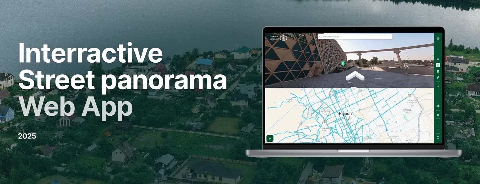
An interactive street-panorama and GIS layer platform for urban planners: explore locations at street level and switch customisable map layers.
Project snapshot
Urban Planning and Development Company
- Location
- Global (Remote access for users worldwide)
- Team
- GIS specialists, software engineers, and a project manager who oversaw platform development and the panoramic image navigation. The UI/UX team designed the interface that makes the layering of geographic data readable, while the development team worked on the integration with mapping technologies.
Stack
- Backend
- .NET
- Frontend
- Angular, Flutter
- Integrations
- Cesium, Mapbox GL, OpenLayers, Leaflet
The challenge, and what closed it
Technical challenge
Real-time Rendering of Panoramic Images: users had to move between street-level images without waiting. GIS Layer Customization: styling and overlaying geographic layers on the fly puts pressure on both the data handling and the compute budget. Scalability: the platform had to carry large numbers of simultaneous users and perform across geographic regions.
What we did
Creation of an online platform that offers users the ability to view and navigate through horizontal panoramic street-level images. The platform also allows users to configure and style layers of geographic information and overlay them on base maps for customized visual experiences.
Why us
Initial Consultation: working out what the client needed, including panoramic navigation and multi-layer GIS integration. Platform Design: an interface users can navigate panoramic images with and customise geographic layers in. Development: Panoramic image technology so users can view 360° images along streets. Managing and overlaying geographic information layers. A backend built for performance and scale. Testing and Optimization: testing platform performance under load, in particular the real-time overlay of multiple GIS layers and the transitions between panoramic images.
Results
Users navigate street panoramas and customise geographic data layers without friction. Urban planners, researchers, and the public can look at a real-world location and analyse geographic data over it. The platform has been taken up by professionals in urban development, tourism, and transportation, and it has changed how they plan and decide.
What we delivered
Creation of an online platform that offers users the ability to view and navigate through horizontal panoramic street-level images. The platform also allows users to configure and style layers of geographic information and overlay them on base maps for customized visual experiences.