Scan-to-BIM and CAD Production for Architecture Firms
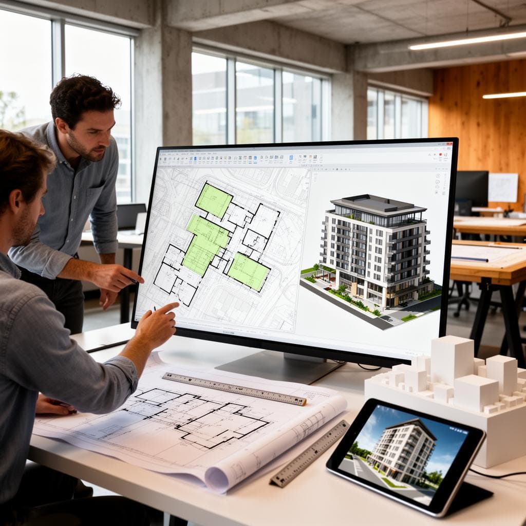
Point cloud to BIM or CAD is a specialist task: hiring for it takes months, projects cannot wait, and LOD requirements shift between every job. Scans queue while design teams hold deadlines.
The answer is specialist modelling capacity to your standard, on demand. Our production team returns LOD 100–500 Revit models, clean DWGs and IFC deliverables under a dual-review QA process; our engineers build the BIM data platforms, point-cloud viewers and CAD-to-GIS pipelines that connect surveys to the design environment, from a single-room scan to a federated model.
How we work
UK-Registered Company
English-Law Contracts
GDPR Compliant
NDA from Intake
Secure Data Transfer
We know your pains
Six operational failures we see across this industry. If three of them are yours, we should talk.
Scan-to-BIM specialists take months to hire
The skill set is narrow; projects cannot wait for recruitment.
Point clouds queue while deadlines hold
Scans sit unmodelled while design teams wait.
CAD-to-GIS conversion blocks planning
Drawings and site context live in formats that do not align.
Quality depends on who is available
Without a standing QA process, model quality varies.
Volume is irregular
Three modellers one month, none the next. Permanent hires do not fit.
BIM and GIS never meet on one map
Federated models and site context stay in separate environments, blocking planning and coordination.
Trusted by


What we deliver for architecture & BIM
Two teams, one partner. The production department models scans to your standard at LOD 100–500; the software department builds the BIM, point-cloud and CAD-to-GIS layers that move those models through the project.
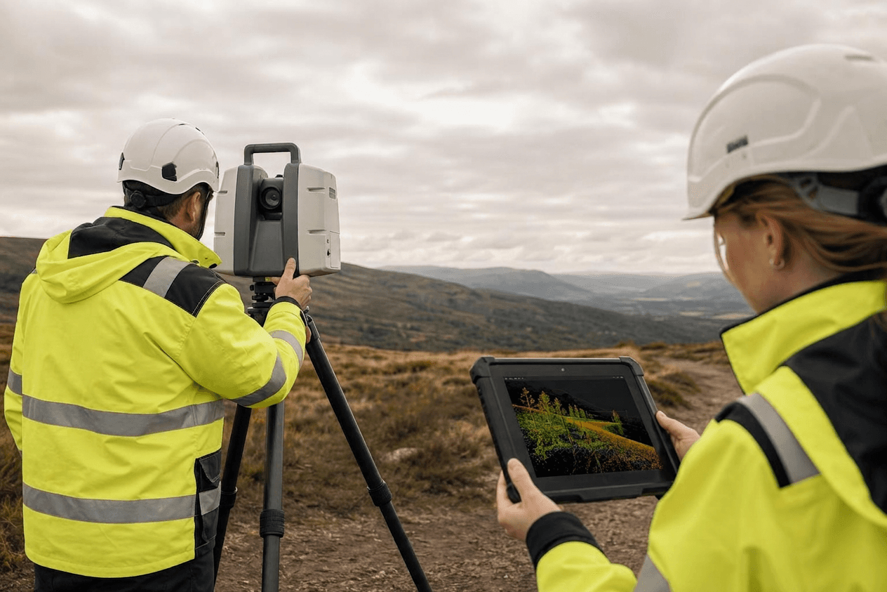
Data Production
Scan-to-BIM
Scan-to-BIM
A scan becomes a coordinated model your design team can actually work in. We model point clouds into Revit at LOD 100–500: structural, MEP, and architectural elements built to your BEP, so you get a usable federated model, not a reference cloud nobody can design against.
- Point cloud to Revit at LOD 100–500
- IFC and RVT deliverables to your BEP
- Verified delivery: point cloud to 3D Revit, UK property consultancy
Input: E57 / LAS / RCP
Output: RVT / IFC
Point Cloud to CAD
Point Cloud to CAD
The 2D documentation your project runs on, drawn directly from the scan. Clean plans, sections, and elevations to your drawing standards from registered point clouds, so the as-built reality reaches your drawing set without manual re-measurement.
- Clean DWG/DXF from scans
- Plans, sections, elevations to your drawing standards
Input: E57 / LAS
Output: DWG / DXF
Terrain & Site Survey Processing
Terrain & Site Survey Processing
The site context your federated model sits in. DTM/DSM terrain, topographic layers, and earthwork surfaces from LiDAR or survey data, so the building model lands in an accurate ground and site setting, not a flat plane.
- DTM/DSM from LiDAR or survey data
- Topographic and earthwork layers
Input: LAS / XYZ
Output: GeoTIFF / DWG / SHP
CAD Drafting & Conversion
CAD Drafting & Conversion
The format bridge between CAD, BIM, and GIS environments. Drafting to national standards and conversion across formats, so drawings, models, and site data align instead of living in incompatible silos.
- CAD-to-GIS format conversion
- Drafting to national standards
Input: DWG / IFC / Survey
Output: DWG / SHP / GeoPackage
Quality Process
Quality Process
Quality you can audit on every model, not hope for. Dual-check review with senior sign-off and a documented QA report on delivery, holding rework below 7%, so what you receive is right the first time, with the evidence to prove it.
- Dual-check review and senior sign-off on every model
- Rework rate below 7%
Input: Draft model
Output: Signed-off model + QA report
Dedicated BIM & CAD Team
Dedicated BIM & CAD Team
Specialist modelling capacity that scales with your project pipeline, not your hiring plan. Named BIM and CAD engineers with a dedicated project manager, operational in two weeks, scaling month to month, so a surge of scan-to-BIM work stops being a recruitment problem.
- 1–10+ named BIM/CAD engineers, dedicated PM
- Operational in 2 weeks, scale monthly
Input: Your brief
Output: Your team
Dual-review QA on every deliverable. Under 7% rework. BSc+ engineers on every project.
Demo dataset in 5 working days. If the quality and speed are right, we scope a priced first job, with no standing commitment.
Send a Demo Dataset →
Software Engineering
BIM Data Platforms
BIM Data Platforms
A shared environment where design, client, and contractor see the same coordinated model. Federated models, issue tracking, and clash review in the browser with role-based access on open formats, so coordination happens in one place, with no per-seat lock-in.
- IFC/Revit ingestion to a shared environment
- Role-based access for design, client and contractor
- Open formats, with no per-seat lock-in
Input: IFC / RVT
Output: Coordinated browser environment
Web Point Cloud Viewers
Web Point Cloud Viewers
Share scans with consultants and clients without emailing multi-gigabyte files. Streamable point cloud tiles (Potree / Entwine / COPC) with measurement, sectioning, and annotation, embeddable in your portal, so everyone who needs the scan can open it in a browser.
- Streamable point cloud tiles (Potree / Entwine / COPC)
- Measurement, sectioning and annotation tools
- Embeddable in your client portal
Input: LAS / LAZ / E57
Output: Streamable web viewer
CAD-to-GIS Pipelines & Site Context
CAD-to-GIS Pipelines & Site Context
The repeatable bridge from drawings to a GIS-ready site layer. Automated conversion from DWG, IFC, and survey data to SHP/GeoPackage, with reprojection, topology validation, and site context merged from OS, terrain, and aerial sources, so site context is built by a pipeline, not redrawn every project.
- Automated conversion to SHP/GeoPackage
- Coordinate-system reprojection and topology validation
- Site-context layers merged from OS, terrain and aerial sources
Input: DWG / IFC / Survey
Output: SHP / GeoPackage
Digital Twin Platforms
Digital Twin Platforms
A live model that knows its own condition. LiDAR, BIM, GIS terrain, and live IoT sensor data fused into one queryable 3D environment: structural, environmental, HVAC, and energy sensors feeding real-time status into the model, so the building is managed from a twin, not a static drawing set.
- LiDAR + BIM + GIS terrain + live IoT in 3D
- Structural, environmental, HVAC, energy sensors
Input: Models + sensor feeds
Output: Queryable digital twin
As-Built vs Design Comparison
As-Built vs Design Comparison
Know exactly where the build diverged from the design. BIM design overlaid with as-built scan data, with visual and quantitative deviation analysis in the browser, so clashes and deviations are caught and measured, not discovered on site.
- BIM design overlaid with as-built scan
- Visual and quantitative deviation analysis
Input: Design + as-built scan
Output: Deviation report
Earthwork & Construction Monitoring
Earthwork & Construction Monitoring
Track the site as it changes, scan to scan. Cut/fill volumetrics from drone and LiDAR survey, before/after terrain comparison, and time-lapse 3D models from sequential surveys with automated reporting, so progress, volumes, and movement are measured continuously, not estimated.
- Cut/fill volumetrics, before/after terrain
- Time-lapse 3D from sequential surveys
Input: Sequential surveys
Output: Volume & progress reports
Every line of code, every repository, every schema is yours on handover. No retained IP. We are the engineering team: we build, ship, and hand over. We do not consult and walk away.
Book a Technical Session →Outcomes
What you get with GIS-Point
LOD to specification
LOD 100–500 in Revit and IFC, agreed per element class.
Quality you can audit
Dual-check review on every model, rework rate under 7%.
Capacity without hiring
Specialist modellers on demand, scaled to project volume.
Same-day iteration
Morning datasets returned with QA notes the same day.
Point clouds the team can open
Streamable web viewers replace handing over 10 GB files.
BIM and GIS on one map
Federated models meet site context in one environment.
Technology stack
Technology and tools we use
Platform-agnostic, open-standards stack: production-grade, auditable on handover, and free of per-seat licensing. This is the working stack we standardise on for architecture & BIM engagements; we adapt to your existing Autodesk, Bentley, or Trimble environment and your BEP when required.
BIM authoring & coordination
LOD 100–500 modelling and federated coordination to your BEP and BS/EN/ISO standards.
Autodesk RevitNavisworksSolibriTekla StructuresArchiCAD (when required)
Point cloud processing
Registration, cleaning and classification of terrestrial, mobile and UAV scans before modelling starts.
Leica CycloneCloudCompareReCap ProPDALLAStools
Photogrammetry & reality capture
Imagery and scans into meshes, orthos and dense point clouds aligned to your CRS.
Agisoft MetashapeRealityCapturePix4D
CAD drafting & conversion
Plans, sections, elevations and CAD-to-GIS conversion to your drawing and layer standards.
AutoCADAutoCAD Map 3DBricscadFMEGDAL / OGR
All deliverables ship on open standards where the BEP allows. Source code, schemas and repositories transfer on handover, with no per-seat licensing and no retained IP.
GeoAI & ML for Architecture & BIM. Point cloud classified automatically before modelling, so engineers start from structured data instead of a raw scan. Every classification checked against the LOD the job requires. Every output measured against a benchmark and owned by a BSc+ engineer.
See the full GeoAI & ML stackWhy you’ll choose us
Quality you can verify
- Under 7% rework rate, tracked per deliverable
- Dual-review QA on every output
- 100% BSc+ geospatial engineers
Speed that is measured
- Demo dataset processed in 5 working days
- Named team operational in 2 weeks
- Scale 1–10+ engineers monthly
Same-day collaboration
- CET/BST real-time for UK and EU
- Overnight delivery for North America
- Named project manager, single point of contact
Ownership from day one
- Open standards: PostGIS, GeoServer, QGIS
- All code and IP yours on handover
- No per-seat licences, no lock-in
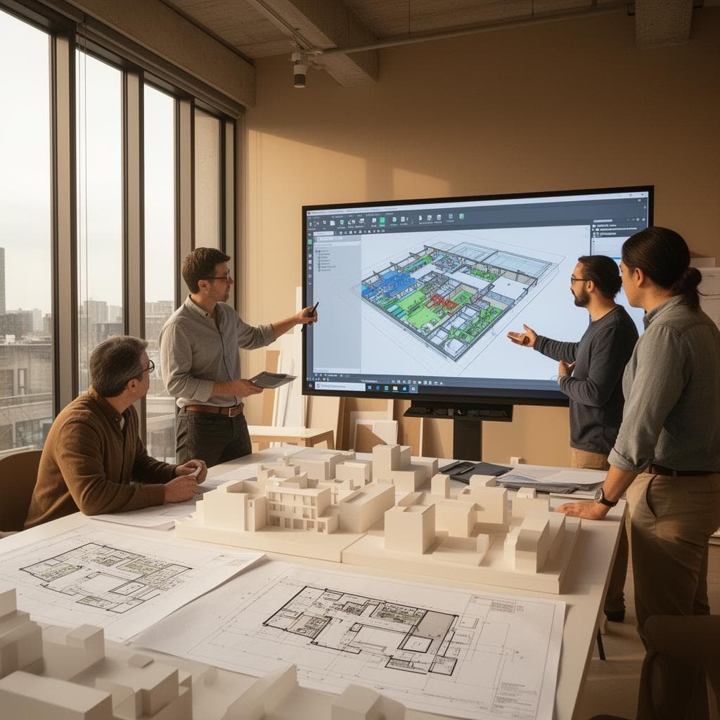
Send us a single-room scan.
We return a Revit model at your specified LOD or a clean DWG with a QA report, so you can compare the turnaround against your hiring cycle.
Proof from this sector
BIM Modeling of Frenchton Farmhouse
A Revit BIM model of a historic farmhouse at LOD 100–500, built from laser scan data: point cloud processing, building envelope and interior layout.
BIM Modeling of Kindergarten “Bitīte”
GIS-Point was engaged to develop a BIM model of a two-storey kindergarten building based on available architectural documentation and point cloud data.
BIM Model: Metropolitan House Offices
GIS-Point was engaged to update the digital documentation of an existing multi-storey commercial building following significant changes since the previous survey conducted in 2012.
Scan-to-CAD Documentation of Pied Chateau
GIS-Point was engaged to process the laser scan data and produce accurate architectural drawings of the building.