Netzdaten dem Ausbau immer einen Schritt voraus

Glasfaser- und Telekommunikationsbetreiber kämpfen mit einer Datenebene, die nicht Schritt hält: Bestandsdaten, die dem Bau hinterherlaufen, PIA-Dokumentation, die aus der Prüfung zurückkommt, nach Fusionen eintreffende Netze in inkompatiblen Schemata und Anlageregister, die in Tabellen zerbrechen.
Die Antwort ist eine laufend gepflegte Datenschicht mit der passenden Software. Unser Produktionsteam übernimmt die Erfassung von Netzdaten, die Bestandsaufnahme nach Bau, die räumliche Qualitätssicherung und einreichungsfertige PIA-Unterlagen; unsere Ingenieure bauen die Asset-Management-Plattformen und die laufende Verbindung zwischen Feld und Büro, die die Bestandsdaten aktuell hält. So stimmt das Netz im Boden mit dem Netz in Ihrem GIS überein.
So arbeiten wir
In Großbritannien registriert
Verträge nach englischem Recht
DSGVO-konform
NDA ab Erstkontakt
Sichere Datenübertragung
Wir kennen Ihre Schmerzpunkte
Sechs operative Schwachstellen, die uns in dieser Branche immer wieder begegnen. Wenn drei davon Ihre sind, sollten wir sprechen.
Bestandsdaten hinken dem Bau hinterher
Der Bau ist schneller als die Dokumentation. Das Netz im Boden stimmt nicht mehr mit dem Netz in Ihrem GIS überein.
PIA-Unterlagen kommen zurück
Einreichungen drehen Runden aus Ablehnung und Nacharbeit, kosten Planerzeit und verzögern Zugangsvereinbarungen.
Daten nach Zukäufen werden nie integriert
Übernommene Netze kommen in unvereinbaren Schemata. Die Konsolidierung stockt über Quartale, während die Planung blind läuft.
GIS und OSS/BSS behaupten Verschiedenes
Bestandsdaten, Arbeitsaufträge und Kundensysteme widersprechen sich beim selben Objekt. Niemand weiß, welche Version stimmt.
Die Lage im Feld ist im Büro unsichtbar
Kolonnenstandorte, Telemetrie und Baufortschritt erreichen die Planungskarte nicht rechtzeitig, um zu handeln.
Jede Integration ist ein manueller Export
Daten wandern per CSV und gutem Willen zwischen Systemen, nicht über Pipelines.
Vertraut von





10 Leistungen für Glasfaser & Telekommunikation, ein Qualitätsstandard
Zwei Teams, ein Partner. Die Produktionsabteilung hält die Netzbestandsdaten aktuell; die Softwareabteilung baut die Asset-Plattformen und die Feld-Büro-Anbindung, die darauf aufsetzen.
Datenproduktion
Netzdatenbetrieb
Netzdatenbetrieb
Die laufende Pflege, die Ihre Netzbestandsdaten mit dem Netz im Boden in Übereinstimmung hält. Datenerfassung, Bestandsaufnahme nach Bau, Umprojektion des Koordinatensystems, Topologieprüfung und Dublettenbereinigung, mit Fehlerprotokoll zu jeder Charge. Ihre Planer arbeiten mit korrekten Daten, statt Änderungen hinterherzurecherchieren.
Input: Gemischte Formate
Output: Schemakonforme Daten
PIA- & Compliance-Unterlagen
PIA- & Compliance-Unterlagen
PIA-Einreichungen, die beim ersten Mal durchgehen. Wir erstellen einreichungsfertige Unterlagenpakete mit eingebauter räumlicher Qualitätssicherung und prüfen sie, bevor sie in die Begutachtung gehen. Zugangsvereinbarungen kommen voran, statt zurückzukommen und Planerzeit zu verbrennen.
Input: Netzbestandsdaten
Output: Einreichungsfertige Pakete
5–10×Netzvektorisierung & Zeichnungsarbeit
Netzvektorisierung & Zeichnungsarbeit
Der Digitalisierungsrückstand wird im Produktionstempo abgearbeitet. Trassen- und Objektlayer nach Ihrem Schema gezeichnet, Bestands-CAD normgerecht aufbereitet. Das Netz kommt so schnell in Ihr GIS, wie es gebaut wird, statt Wochen hinterherzuhinken.
Input: DWG / DXF / PDF
Output: SHP / DWG
Start in 2 WochenDediziertes Netzdatenteam
Dediziertes Netzdatenteam
Ein Datenteam, das mit Ihrem Ausbau skaliert statt mit Ihrem Personalplan. Namentlich benannte Ingenieure und eine feste Projektleitung, in zwei Wochen einsatzbereit, monatlich nach oben und unten skalierbar. Spitzen in der Bauphase sind damit kein Rekrutierungsproblem mehr.
Input: Ihr Auftrag
Output: Ihr Team
Bestandsaufnahme von Trassenkorridoren
Bestandsaufnahme von Trassenkorridoren
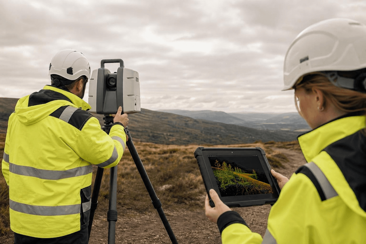
Trassen- und Wegerechtsvermessungen werden zu netzfähigen Layern. Wir klassifizieren und vektorisieren LiDAR- und Bilddaten aus der Korridorbefliegung. Was Ihre Vermessungstrupps erheben, kommt als nutzbare Netzgeometrie an, nicht als Rohscan in der Warteschlange.
Input: LAS / LAZ / Bilddaten
Output: Klassifizierte Korridor-Layer
Vier-Augen-QS bei jedem Ergebnis. Unter 7 % Nacharbeit. Ingenieurinnen und Ingenieure mit BSc+ in jedem Projekt.
Demo-Datensatz in 5 Arbeitstagen. Stimmen Qualität und Tempo, kalkulieren wir einen ersten Auftrag, ohne laufende Verpflichtung.
Demo-Datensatz senden →
Softwareentwicklung
Asset-Management & Netzplanung
Asset-Management & Netzplanung
Ein lebendes Führungssystem für das Netz statt einer Tabelle, die bei Größe bricht. Topologie, Zustandsverfolgung und Wartungsplanung, per LoRaWAN, NB-IoT und MQTT an IoT angebunden, auf PostGIS und GeoServer und ohne Bindung an Lizenzen pro Arbeitsplatz. Die Planung läuft auf aktuellen Daten, nicht auf dem Export des letzten Quartals.
Input: Netzdaten
Output: Planungsplattform
Feld-Büro-Anbindung
Feld-Büro-Anbindung
Was die Kolonne im Feld sieht, ist im Büro in Echtzeit sichtbar. Laufende Kolonnenstandorte und Gerätetelemetrie auf der Planungskarte, mit Aktualisierung im Sekundenbruchteil und Edge-zu-Cloud-Synchronisierung für Standorte mit schwacher Verbindung. Disposition und Planung handeln auf Basis der aktuellen Lage.
Input: Feldgeräte
Output: Laufende Betriebskarte
Räumliches ETL & Modernisierung von Altsystemen
Räumliches ETL & Modernisierung von Altsystemen
Das Bindeglied zwischen Systemen, die nie miteinander gesprochen haben. Automatisierte Strecken zwischen GIS, OSS/BSS und Arbeitsaufträgen, dazu die Zusammenführung von Geodatenbanken nach einer Übernahme und OGC-Dienste für nachgelagerte Systeme. Daten bewegen sich über Pipelines statt über manuelle Exporte, und eine Fusion bedeutet keine Quartale blinder Planung mehr.
Input: Getrennte Systeme
Output: Eine Datenschicht
Web-Portale für das Netz-GIS
Web-Portale für das Netz-GIS
Ein Planungsportal, gebaut um die tatsächliche Arbeitsweise Ihres Teams. Full-Stack-Webportale mit interaktiven Netzkarten, räumlicher Abfrage und rollenbasiertem Zugriff, mandantenfähig und OGC-konform. Sie ersetzen Unternehmenslizenzen, die mehr kosten als das Team, das sie nutzt, und gehören Ihnen bei der Übergabe.
Input: Ihre Anforderungen
Output: Produktives Netzportal
Selbst gehostetes Netz-Routing
Selbst gehostetes Netz-Routing
Kürzeste-Wege- und Kapazitätsanalysen über Ihren Netzgraphen, auf Ihrer eigenen Infrastruktur. Routing auf Basis von pgRouting ohne API-Abhängigkeit je Abfrage. Netzanalysen skalieren mit dem Netz statt mit der Rechnung eines Anbieters.
Input: Netztopologie
Output: Routing-Engine
Jede Zeile Code, jedes Repository, jedes Schema gehört Ihnen bei der Übergabe. Keine zurückbehaltenen Rechte. Wir sind das Entwicklungsteam: Wir bauen, liefern und übergeben. Wir beraten nicht und verschwinden dann.
Technisches Gespräch buchen →Ergebnisse
Was Sie mit GIS-Point bekommen
Bestandsdaten, die zum Netz passen
Die Bestandsaufnahme nach Bau hält das GIS auf dem Stand des Baus.
PIA-Pakete, die durchgehen
Unterlagen werden vor der Einreichung geprüft, nicht nach der Ablehnung.
Ein Schema nach dem Zukauf
Übernommene Netze in einer einheitlichen Datenbank zusammengeführt.
Das Feld ist im Büro sichtbar
Kolonnenstandorte und Telemetrie laufen live auf der Planungskarte.
Kapazität, die dem Bau folgt
Das Team skaliert monatlich mit den Ausbauphasen.
Vor der Frist prüffähig
Standardisierte Datensätze werden vor den Einreichungsfenstern vorbereitet.
Technologie-Stack
Technologien und Werkzeuge, mit denen wir arbeiten
Plattformunabhängiger Stack auf offenen Standards: produktionsreif, bei der Übergabe prüfbar und frei von Lizenzgebühren pro Arbeitsplatz. Das ist der Stack, auf den wir uns in Projekten für Glasfaser & Telekommunikation standardmäßig stützen; bei Bedarf passen wir uns Ihrer bestehenden Esri-, IQGeo-, Smallworld- oder Comsof-Umgebung an.
Geodatenbank & Speicherung
Eine Datenwahrheit für Leerrohr-, Trassen- und Objektbestand: topologiebewusst, versioniert, abfrageoptimiert für die Planungslast.
PostgreSQL 15+PostGIS 3.xpgRoutingTimescaleDBS3 / object storage
Kartendienste & APIs
OGC-konforme Veröffentlichung für Planungswerkzeuge, OSS-/BSS-Abnehmer und externe Behörden.
GeoServerpg_tileservpg_featureservMapProxy
ETL, Prüfung & PIA-Aufbereitung
Wiederholbare Strecken von DWG-, DXF- und PDF-Bestandsunterlagen zu schemakonformen Netzdaten und einreichungsfertigen PIA-Paketen.
FMEGDAL / OGRPython (GeoPandas, Shapely)Apache Airflow
Desktop- & QS-Werkzeuge
Kartografie, Topologieprüfung und Vier-Augen-QS, bevor der Netzdatensatz Ihr Haus verlässt.
QGISAutoCAD Map 3DFME InspectorJOSM
Alle Ergebnisse werden auf offenen Standards geliefert. Quellcode, Schemata und Repositories gehen bei der Übergabe an Sie über, ohne Lizenzgebühren pro Arbeitsplatz und ohne zurückbehaltene Rechte.
GeoAI & ML für Glasfaser & Telekommunikation. Netzobjekte werden aus Bilddaten extrahiert statt von Hand nachgezeichnet. Trassenänderungen zwischen zwei Befliegungen werden erkannt, sodass das Team nur prüft, was sich verändert hat. Jedes Ergebnis wird gegen einen Referenzdatensatz gemessen und von einer Ingenieurin oder einem Ingenieur mit BSc+ verantwortet.
Den gesamten GeoAI- & ML-Stack ansehenWarum Sie sich für uns entscheiden
Qualität, die Sie nachprüfen können
- Unter 7 % Nacharbeit, je Ergebnistyp erfasst
- Vier-Augen-QS bei jedem Ergebnis
- 100% BSc+ Geodaten-Ingenieure
Tempo, das gemessen wird
- Demo-Datensatz in 5 Arbeitstagen verarbeitet
- Namentlich benanntes Team in 2 Wochen einsatzbereit
- Monatlich auf 1–10+ Ingenieure skalieren
Zusammenarbeit am selben Tag
- MEZ/BST in Echtzeit für Großbritannien und die EU
- Lieferung über Nacht für Nordamerika
- Feste Projektleitung als einzige Ansprechperson
Eigentum ab dem ersten Tag
- Offene Standards: PostGIS, GeoServer, QGIS
- Der gesamte Code und alle Rechte gehören Ihnen bei der Übergabe
- Keine Lizenzen pro Arbeitsplatz, keine Bindung
Das Netz wächst weiter. Halten die Bestandsdaten mit?
Senden Sie einen Beispieldatensatz aus Ihrem Netz: schemakonforme Ergebnisse und ein vollständiges Fehlerprotokoll in 5 Arbeitstagen.
Einblicke
Leitfaden zur Aufbereitung regulatorischer Daten
Ein praktischer Leitfaden zur Aufbereitung räumlicher Bestandsdaten für regulatorische Anforderungen: Schemaprüfung, Abgleich der Koordinatensysteme und einreichungsfertige Formatierung.
Ablehnungsquoten bei PIA A55: ein Datenqualitätsproblem
Warum 80 % der PIA-A55-Einreichungen scheitern und wie räumlich korrekte, vorgabenkonforme Unterlagen die Ablehnungsquote senken.