Die Routing-Ebene Ihrer Plattform selbst besitzen
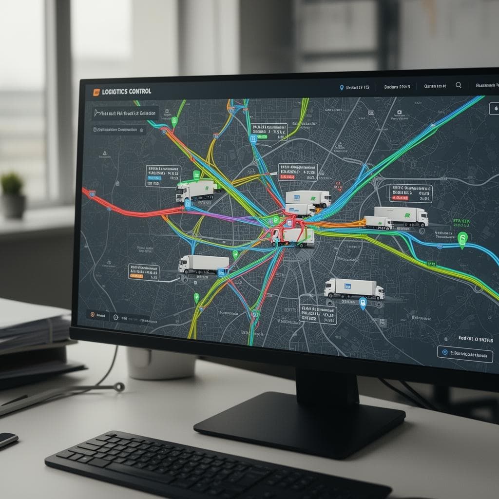
Logistik- und Mobilitätsplattformen zahlen eine wachsende Abgabe: Routing-Rechnungen pro Aufruf, die mit jedem neuen Fahrzeug steigen, statische Routen, die im Flottenmaßstab versagen, Telematik, die Punkte statt Entscheidungen zeigt, und geschlossene Engines, die sich nicht an Ihre Vorgaben anpassen lassen.
Die Antwort ist ein räumlicher Stack, der Ihnen gehört. Unsere Ingenieure bauen selbst gehostete Routing-Engines mit 78–95 % geringeren Kosten je Abfrage, Echtzeit-Dashboards für den Fuhrpark, KI-gestützte Disposition mit Neuplanung während der Fahrt und Auswertungen von Liefergebieten. So verbinden wir Telematik mit operativen Entscheidungen, ohne Abhängigkeit von Abrechnung je Abfrage.
So arbeiten wir
In Großbritannien registriert
Verträge nach englischem Recht
DSGVO-konform
NDA ab Erstkontakt
Sichere Datenübertragung
Wir kennen Ihre Schmerzpunkte
Sechs operative Schwachstellen, die uns in dieser Branche immer wieder begegnen. Wenn drei davon Ihre sind, sollten wir sprechen.
Routing-Rechnungen wachsen mit dem Erfolg
Jedes zusätzliche Fahrzeug, jeder Auftrag und jede Matrixabfrage erhöht die Rechnung. Wachstum wird je Anfrage besteuert.
Starre Routen scheitern in großen Fuhrparks
Feste Pläne ignorieren aktuellen Verkehr, Fahrzeugrestriktionen und Zeitfenster. Die Quote gescheiterter Zustellungen steigt mit dem Volumen.
Geschlossene Engines blockieren die Optimierung
Anbieteralgorithmen lassen sich nicht auf Ihre Fahrzeugprofile, Depots und Servicezeiten abstimmen.
Ankunftszeiten verspielen das Kundenvertrauen
Prognosen, die sich nie an die aktuelle Lage anpassen, gewöhnen Kunden daran, sie zu ignorieren.
Adressfehler verursachen gescheiterte Zustellungen
Schlechtes Geocoding führt zu erneuten Anfahrten, und erneute Anfahrten zu Kosten je Stopp.
Räumliche Funktionen bremsen die Roadmap
Generalistische Entwickler brauchen Monate für Routing-Graphen und Projektionen, bevor überhaupt etwas ausgeliefert wird.
Vertraut von





7 Leistungen für Logistik & Mobilität, ein Qualitätsstandard
Ein Partner über den gesamten räumlichen Stack. Selbst gehostete Routing-Engines, Echtzeitwissen über den Fuhrpark, KI-Disposition und Lieferanalytik, gebaut, um die Abhängigkeit von Abrechnung je Abfrage zu ersetzen statt sie fortzuschreiben.

Softwareentwicklung
78–95 %Selbst gehostete Routing-Engines
Selbst gehostete Routing-Engines
Die Routing-Abgabe auf Ihr Wachstum entfällt. pgRouting, OSRM oder Valhalla, eingebettet in Ihre Fahrer- und Fahrgast-Apps, vor der Migration gegen Ihren jetzigen Anbieter gemessen. Jedes neue Fahrzeug und jeder neue Auftrag erhöht damit keine API-Rechnung je Abfrage mehr, und die Engine gehört Ihnen zum Betreiben und Abstimmen.
- pgRouting, OSRM, Valhalla in Fahrer-/Fahrgast-Apps eingebettet
- Vor der Migration gegen Ihren jetzigen Anbieter gemessen
- Keine API-Abhängigkeit je Abfrage
Input: Routing-Rechnungen
Output: Ein Stack, der Ihnen gehört
Echtzeit-Dashboards für den Fuhrpark
Echtzeit-Dashboards für den Fuhrpark
Aus Telematik werden Entscheidungen statt Punkten auf einer Karte. GPS-, OBD-II-, CAN-Bus- und Sensordaten laufen nach PostGIS und zeigen Soll- gegen Ist-Route, Standzeiten, Umwegerkennung und Fahrerbewertung. Die Disposition sieht, was tatsächlich passiert, nicht nur wo die Fahrzeuge sind.
- GPS + OBD-II + CAN-Bus → PostGIS
- Soll- gegen Ist-Route, Standzeiten, Umwegerkennung
- Fahrerbewertung je Straßenabschnitt
Input: Telematikdaten
Output: Räumliche Auswertung
KI-Disposition & Routenoptimierung
KI-Disposition & Routenoptimierung
Routen, die sich mit dem Tag ändern, statt Pläne, die am Vormittag brechen. Dynamische Disposition mit laufender Neuberechnung der Ankunftszeit, Zeitfenstern, Fahrzeugprofilen und Depots, dazu Gebietsplanung nach Zustelldichte. Servicezusagen halten, und gescheiterte Zustellungen gehen zurück, wenn sich die Lage ändert.
- Dynamische Disposition mit laufender Neuberechnung der Ankunftszeit
- Zeitfenster, Fahrzeugprofile, Depots
- Gebietsplanung nach Zustelldichte
Input: Starre Routen
Output: Laufende Neuplanung
Auswertung von Liefergebieten
Auswertung von Liefergebieten
Territorien aus Daten statt aus Postleitzahlen. Heatmaps der Kosten je Stopp, Brennpunkte gescheiterter Zustellversuche und Einzugsanalysen für Micro-Fulfilment. Sie sehen genau, wo sich Zustellkosten und Fehlschläge konzentrieren, und zeichnen Gebiete entlang der Realität neu.
- Heatmaps der Kosten je Stopp
- Brennpunkte gescheiterter Zustellversuche
- Einzugsanalyse für Micro-Fulfilment
Input: Zustellhistorie
Output: Aus Daten gezeichnete Gebiete
Kühlketten- & Compliance-Monitoring
Kühlketten- & Compliance-Monitoring
Temperaturabweichungen werden als Warnung erkannt, nicht im Streitfall entdeckt. Durchgehende Temperatur- und Feuchteüberwachung mit geofence-basierten Compliance-Zonen und automatischen Warnungen. Eine Überschreitung löst sofort eine Reaktion aus statt später eine Schadensmeldung.
- Durchgehende Temperatur- und Feuchteüberwachung
- Geofence-basierte Compliance-Zonen mit automatischen Warnungen
Input: Sensordatenströme
Output: Warnungen statt Streitfälle
E-Fuhrpark & Adressprüfung
E-Fuhrpark & Adressprüfung
Zwei Probleme der Datenschicht auf einmal gelöst: Elektrifizierungsplanung und Adressqualität. Reichweitenbewusstes Routing, Ladeinfrastrukturanalyse und Depotplanung, dazu Stapel-Geocoding und Normalisierung, selbst gehostet und ohne Gebühren je Abfrage. Schlechte Adressen verursachen keine gescheiterten Zustellungen mehr, und die Umstellung auf E-Fahrzeuge läuft auf echten Abdeckungsdaten.
- Reichweitenbewusstes Routing und Analyse der Ladeabdeckung
- Stapel-Geocoding und Normalisierung, selbst gehostet
Input: Adressen / Fuhrparkdaten
Output: Saubere Datenschicht
Dediziertes Entwicklungsteam
Dediziertes Entwicklungsteam
Ein GIS-erfahrenes Entwicklungsteam in Ihrer Codebasis: Funktionen für Routing, Disposition und Telematik im Takt Ihrer Sprints ausgeliefert, in 2 Wochen einsatzbereit und nach Ihrem Auftrag.
Input: Ihr Auftrag
Output: Eingebundenes Entwicklungsteam
Jede Zeile Code, jedes Repository, jedes Schema gehört Ihnen bei der Übergabe. Keine zurückbehaltenen Rechte. Wir sind das Entwicklungsteam: Wir bauen, liefern und übergeben. Wir beraten nicht und verschwinden dann.
Technisches Gespräch buchen →Sie benötigen die Verarbeitung von Geodaten: Qualitätssicherung von Adressdaten, Digitalisierung von Gebieten, Netzbestandsdaten? Sehen Sie sich unsere Datenproduktionsleistungen.
Ergebnisse
Was Sie mit GIS-Point bekommen
Routing-Rechnung um 78–95 % gesenkt
Vor der Migration an Ihren echten Volumina gemessen.
Ankunftszeiten, denen Kunden trauen
Laufende Neuberechnung, wenn sich Verkehr und Bedingungen ändern.
Der Stack gehört Ihnen
Engines, Code und Daten: keine Abhängigkeit von Abrechnung je Abfrage.
Fehlschläge kartiert, nicht geraten
Brennpunkte gescheiterter Zustellversuche und Kosten je Stopp nach Gebiet.
Gebiete aus Daten gezeichnet
Territorien folgen der Zustelldichte, nicht der Postleitzahl.
Kühlkette im Automatikbetrieb
Abweichungen lösen Warnungen aus, keine Streitfälle.
Technologie-Stack
Technologien und Werkzeuge, mit denen wir arbeiten
Offene Engines, offene Standards, offene Daten: produktionsreif und frei von Abrechnung je Abfrage. Das ist der Stack, auf den wir uns in Projekten für Logistik & Mobilität standardmäßig stützen; wir binden das vorhandene TMS, WMS und Auftragssystem ein, statt einen Austausch zu erzwingen.
Routing-Engines (selbst gehostet)
Rechnungen je Abfrage durch Engines ersetzen, die Ihnen gehören und auf Ihre Fahrzeugprofile und Restriktionen abgestimmt sind.
OSRMValhallapgRoutingGraphHopperOpenStreetMap data pipelines
Geodatenbank & Zeitreihen
Telematik, Aufträge und historische Spuren gemeinsam gespeichert, abfrageoptimiert für laufende Disposition und Auswertung.
PostgreSQL 15+PostGIS 3.xTimescaleDBRedisS3 / object storage
Telemetrie & Streaming
GPS, OBD-II, CAN-Bus und Kühlkettensensoren nahezu in Echtzeit in eine räumliche Analyseschicht.
MQTTKafkaNATSNode-REDInfluxDB
Disposition & Optimierung
Zeitfenster, Depots, Fahrzeugprofile und laufende Ankunftszeiten, während der Fahrt neu optimiert, wenn sich die Bedingungen ändern.
VROOMGoogle OR-ToolsPython (NumPy, NetworkX)Apache Airflow
Offene Engines, offene Standards, offene Daten. Quellcode, Infrastruktur und Tuning-Parameter gehen bei der Übergabe an Sie über, ohne verbleibende Abhängigkeit von Abrechnung je Abfrage.
GeoAI & ML für Logistik & Mobilität. Straßen- und Netzobjekte werden aus Bilddaten extrahiert und aktuell gehalten, damit der Routing-Graph nicht veraltet. Aus der Telematikhistorie werden prognostizierte Fahrzeiten statt Punkten auf einer Karte. Jedes Ergebnis wird gegen einen Referenzdatensatz gemessen und von einer Ingenieurin oder einem Ingenieur mit BSc+ verantwortet.
Den gesamten GeoAI- & ML-Stack ansehenWarum Sie sich für uns entscheiden
Qualität, die Sie nachprüfen können
- Unter 7 % Nacharbeit, je Ergebnistyp erfasst
- Vier-Augen-QS bei jedem Ergebnis
- 100% BSc+ Geodaten-Ingenieure
Tempo, das gemessen wird
- Demo-Datensatz in 5 Arbeitstagen verarbeitet
- Namentlich benanntes Team in 2 Wochen einsatzbereit
- Monatlich auf 1–10+ Ingenieure skalieren
Zusammenarbeit am selben Tag
- MEZ/BST in Echtzeit für Großbritannien und die EU
- Lieferung über Nacht für Nordamerika
- Feste Projektleitung als einzige Ansprechperson
Eigentum ab dem ersten Tag
- Offene Standards: PostGIS, GeoServer, QGIS
- Der gesamte Code und alle Rechte gehören Ihnen bei der Übergabe
- Keine Lizenzen pro Arbeitsplatz, keine Bindung
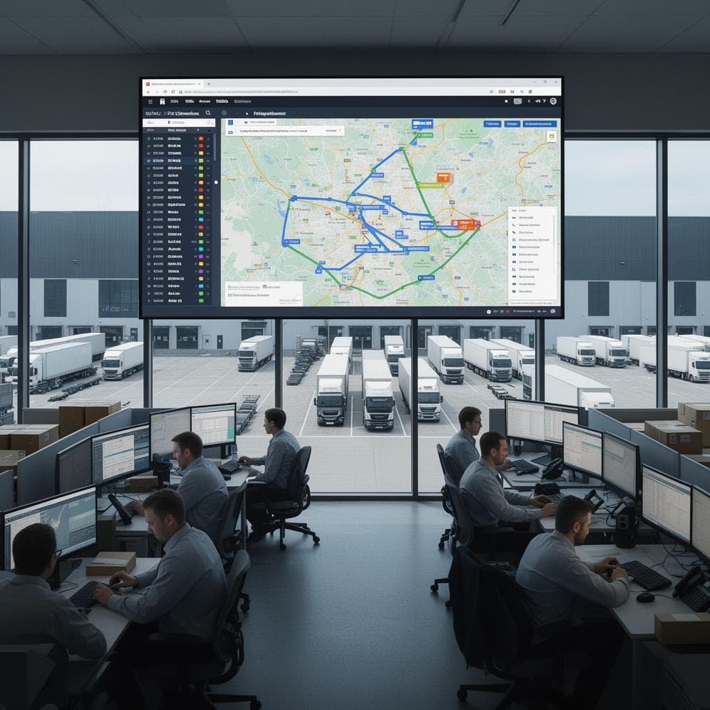
Ihre Routing-Rechnung wächst mit jedem Auftrag. Das muss nicht sein.
Ein technisches Gespräch von 20 Minuten: Ihre Routing-Kosten im Vergleich zu einer selbst gehosteten Lösung. Zahlen, keine Folien.
Einblicke
Einen räumlichen IoT-Stack bauen: vom Sensor zur Karte
Architekturmuster, um LoRaWAN-, NB-IoT- und MQTT-Sensordaten nach PostGIS zu übernehmen und in unter 200 ms auf interaktiven Karten darzustellen.
Wie selbst gehostetes Routing die API-Kosten im Fuhrpark um 78–95 % senkt
Eine Gegenüberstellung von pgRouting und OSRM mit Routing-APIs auf Abrufbasis, mit echten Zahlen aus produktiven Fuhrparkprojekten.