Die räumliche Ebene für Verteidigungsplattformen aufbauen
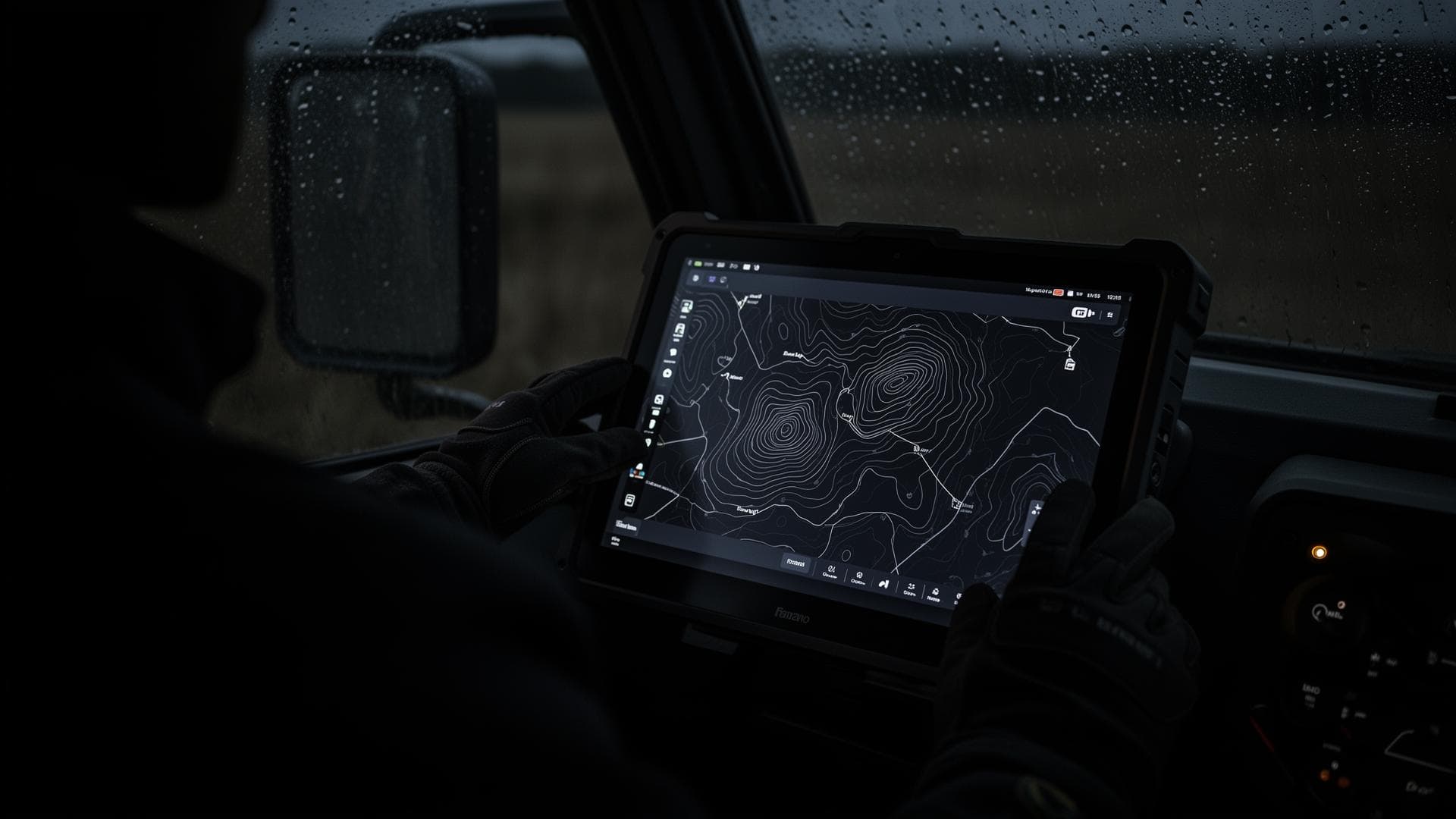
Verteidigungstechnologie-Unternehmen stehen vor einer Lücke zwischen Roadmap und Realität: GIS-Expertise, die schwer einzustellen ist, Generalunternehmer, die in Haushaltsjahren statt in Sprints liefern, und Laborannahmen, die dort versagen, wo die Konnektivität eingeschränkt und das Signal umkämpft ist.
Die Antwort ist GIS-native Leistungsfähigkeit, gebaut für Feldbedingungen. Unsere Ingenieure liefern ISR-zu-Karte-Pipelines, Dashboards für ein gemeinsames Lagebild, Positionierungs-Layer für GPS-gestörte Umgebungen und Offline-First-Feldanwendungen; unser Produktionsteam verarbeitet Geländemodelle und klassifizierte Punktwolken nach einem festgelegten Handhabungsprotokoll. So treffen Sensoren, Gelände und Einsatzkräfte in einem Lagebild zusammen, und jede Zeile Code gehört Ihnen bei der Übergabe.
So arbeiten wir
In Großbritannien registriert
Verträge nach englischem Recht
DSGVO-konform
NDA ab Erstkontakt
Sichere Datenübertragung
Wir kennen Ihre Schmerzpunkte
Sechs operative Schwachstellen, die uns in dieser Branche immer wieder begegnen. Wenn drei davon Ihre sind, sollten wir sprechen.
Sensible Daten brauchen kontrollierte Handhabung
Übliche Dienstleisterabläufe genügen der Anforderung nicht. Die Verarbeitung verlangt ein festgelegtes Protokoll ab dem Eingang.
Geländeprodukte werden im Einsatztempo gebraucht
Beschaffungszyklen dauern länger als der Bedarf. DEMs und klassifizierte Punktwolken können kein Haushaltsjahr warten.
GIS-Wissen ist in Verteidigungsteams knapp
Koordinatensysteme, Geländeanalyse und räumliche Verarbeitung sind schwer einzustellen und langsam aufzubauen.
Generalunternehmer liefern in Haushaltsjahren
Zusammenarbeitsmodelle für Milliardenprogramme passen nicht zum Sprint-Takt eines Start-ups.
Laborannahmen versagen im Feld
Eingeschränkte Konnektivität und umkämpftes Signal sind Einsatzbedingungen, keine Sonderfälle.
Konnektivität kann nicht vorausgesetzt werden
Werkzeuge, die ein Netz brauchen, fallen genau dann aus, wenn es darauf ankommt. Offline-First ist eine Anforderung, kein Zusatz.
In Großbritannien registriert · Verträge nach englischem Recht · NDA ab Erstkontakt · Zusammenarbeit auf Empfehlung.
5 Leistungen für Verteidigungsplattformen, ein Qualitätsstandard
Wir bauen die GIS-Schicht Ihrer Plattform im Sprint-Takt: vom im Sprint umrissenen Prototyp bis zum produktionsreifen Feldsystem, jede Zeile Code bei der Übergabe in Ihrem Eigentum.

Softwareentwicklung
ISR-zu-Karte-Pipelines
ISR-zu-Karte-Pipelines
Aus Rohflugdaten wird etwas, das eine Planerin tatsächlich abfragen kann. Georeferenzierte Geländemodelle, Orthophotos und Veränderungs-Layer aus UAV-Bildmaterial. Was vom Fluggerät kommt, wird zu einem nutzbaren räumlichen Ergebnis im laufenden Prozess, nicht zu einem Stapel unverarbeiteter Bilder.
- Georeferenzierte Geländemodelle und Orthophotos
- Veränderungs-Layer aus aufeinanderfolgenden Aufnahmen
Input: UAV-Bildmaterial
Output: Abfragbares räumliches Ergebnis
Dashboards für das gemeinsame Lagebild
Dashboards für das gemeinsame Lagebild
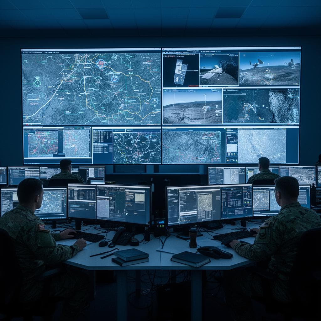
Viele Datenströme, eine Karte, mit der alle arbeiten. Fusion von Sensoren mehrerer Quellen und Domänen zu einem Lagebild, ausgeliefert für Web und Mobilgeräte und im Sprint umrissen. Lagebewusstsein entsteht aus einer gemeinsamen Sicht statt aus Daten in getrennten Silos.
- Domänenübergreifende Fusion, Auslieferung für Web und Mobilgeräte
- Im Sprint umrissene Umsetzungen
Input: Sensordatenströme
Output: Ein Lagebild
Positionierungs-Layer für GPS-gestörte Umgebungen
Positionierungs-Layer für GPS-gestörte Umgebungen
Räumliches Bewusstsein, das trägt, wo das Signal es nicht tut. Positionierung für gestörte und umkämpfte Umgebungen, ausgelegt an Feldbedingungen statt an Laborannahmen. Das Produkt arbeitet weiter, sobald GPS unzuverlässig wird.
- Umgebungen mit gestörtem und umkämpftem Signal
- Ausgelegt auf Feldbedingungen, nicht auf Laborannahmen
Input: Umkämpftes Signal
Output: Positionierungs-Layer
Offline-First-Feldanwendungen
Offline-First-Feldanwendungen
Werkzeuge, die von Anfang an für fehlende Konnektivität gebaut sind, nicht nachträglich dafür geflickt. Vollständiger Offline-Betrieb mit Mesh-Synchronisierung bei Wiederverbindung sowie eingebauter Geländeanalyse und Sichtlinienberechnung. Die Anwendung funktioniert ohne Netz und holt auf, sobald es zurück ist.
- Mesh-Synchronisierung bei wiederhergestellter Verbindung
- Geländeanalyse und Sichtlinienberechnung eingebaut
Input: Kein Netz
Output: Funktionierende Werkzeuge
Missionsdaten- & Digital-Twin-Umgebungen
Missionsdaten- & Digital-Twin-Umgebungen
Verstreute Quellen werden zu einer abfragbaren 3D-Umgebung für Planung und Lagebewusstsein zusammengeführt. LiDAR, BIM und laufende Sensordaten kombiniert, mit OSINT-Layern samt strukturierter Quellenangabe und Prüfspur. Planung läuft in einer zusammenhängenden Umgebung, in der die Herkunft jedes Layers belegt ist.
- LiDAR, BIM und laufende Sensordaten in 3D zusammengeführt
- OSINT-Layer mit strukturierter Quellenangabe und Prüfspur
Input: Daten aus mehreren Quellen
Output: Abfragbare 3D-Umgebung
Jede Zeile Code, jedes Repository, jedes Schema gehört Ihnen bei der Übergabe. Keine zurückbehaltenen Rechte. Wir sind das Entwicklungsteam: Wir bauen, liefern und übergeben. Wir beraten nicht und verschwinden dann.
Technisches Gespräch buchen →Sie benötigen die Verarbeitung von Geodaten: Geländemodelle, klassifizierte Punktwolken oder Orthophotos? Sehen Sie sich unsere Datenproduktionsleistungen für die Verteidigung.
Ergebnisse
Was Sie mit GIS-Point bekommen
Erster Sprint in Wochen
Umfang in einem technischen Gespräch geklärt, kein mehrjähriges Onboarding.
Code bei der Übergabe in Ihrem Eigentum
Keine zurückbehaltenen Rechte, keine SDK-Bindung.
Für eingeschränkte Bedingungen gebaut
Offline-First, Mesh-Synchronisierung, Umgebungen mit umkämpftem Signal.
Ein gemeinsames Lagebild
Fusion mehrerer Quellen in einer Kartenoberfläche.
Gelände im Einsatztempo
DEMs und klassifizierte Punktwolken in Tagen.
Kontrollierte Handhabung ab dem Eingang
Festgelegtes Protokoll, NDA, sichere Übertragung.
Technologie-Stack
Technologien und Werkzeuge, mit denen wir arbeiten
Plattformunabhängige, offene und in der Verteidigung anerkannte Standards: produktionsreif, bei der Übergabe prüfbar, betreibbar auf Ihrer Infrastruktur oder an abgeschotteten Standorten. Das ist der Stack, auf den wir uns in Verteidigungsprojekten standardmäßig stützen; wir passen uns Ihrer Zielumgebung und Ihren Sicherheitsanforderungen an.
Geodatenbank & Speicherung
Missionsdaten als Führungsbestand: versioniert, abfrageoptimiert, auch in abgeschotteten Umgebungen betreibbar.
PostgreSQL 15+PostGIS 3.xpgRoutingTimescaleDBMinIO / object storage
Gelände-, ISR- & Sensorverarbeitung
Rohe Flug-, LiDAR- und ISR-Daten werden zu georeferenziertem Gelände, Orthophotos und Veränderungs-Layern.
GDAL / OGRPDALOrfeo ToolboxOpenDroneMapPython (Rasterio, Shapely)
Kartendienste & APIs
OGC-konforme Veröffentlichung für Lagebild-Dashboards und nachgelagerte Missionssysteme.
GeoServerpg_tileservpg_featureservMapProxy
Gemeinsames Lagebild & Web
Domänenübergreifende Fusion im Browser: leistungsoptimiert, gestaltbar, rollenbewusst.
React + TypeScriptMapLibre GLOpenLayersdeck.glCesium / 3D Tiles
Offene Standards als Voreinstellung. Quellcode, Schemata und Repositories gehen bei der Übergabe an Sie über, ohne SDK-Bindung und ohne zurückbehaltene Rechte.
GeoAI & ML für die Verteidigung. Veränderungs- und Objekterkennung im großen Maßstab, Prüfung nur bei Auffälligkeiten. Jedes Ergebnis wird gegen einen Referenzdatensatz gemessen und von einer Ingenieurin oder einem Ingenieur mit BSc+ verantwortet.
Den gesamten GeoAI- & ML-Stack ansehenWarum Sie sich für uns entscheiden
Qualität, die Sie nachprüfen können
- Unter 7 % Nacharbeit, je Ergebnistyp erfasst
- Vier-Augen-QS bei jedem Ergebnis
- 100% BSc+ Geodaten-Ingenieure
Tempo, das gemessen wird
- Demo-Datensatz in 5 Arbeitstagen verarbeitet
- Namentlich benanntes Team in 2 Wochen einsatzbereit
- Monatlich auf 1–10+ Ingenieure skalieren
Zusammenarbeit am selben Tag
- MEZ/BST in Echtzeit für Großbritannien und die EU
- Lieferung über Nacht für Nordamerika
- Feste Projektleitung als einzige Ansprechperson
Eigentum ab dem ersten Tag
- Offene Standards: PostGIS, GeoServer, QGIS
- Der gesamte Code und alle Rechte gehören Ihnen bei der Übergabe
- Keine Lizenzen pro Arbeitsplatz, keine Bindung
Einblicke
Edge Computing für Feldeinsätze: Offline-First-Lageinformation
Warum eine Offline-First-Architektur die Grundlage für räumliche Systeme ist, die keine Konnektivität voraussetzen können.
IoT + Satellit: Validierung durch Bodenreferenz für die Fernerkundung
Sensordaten vom Boden und Satellitenbeobachtung werden zu einem einzigen validierten Lagebild zusammengeführt.