SoftwareentwicklungAgriculture & AgriTech
Monitoring-Plattform für Präzisionslandwirtschaft
Ein AgTech-Start-up in Saudi-Arabien kam auf uns zu, um verstreute Agrardatenbestände in einer Oberfläche zusammenzuführen.
Projektüberblick
AgTech-Start-up (Saudi-Arabien)
- Location
- Saudi-Arabien
- Team
- Softwareentwickler, Fernerkundungsfachleute und Cloud-Ingenieure. Die Projektleitung steuerte den agilen Entwicklungszyklus und lieferte iterativ gegen die Kundenanforderungen. Das Backend-Team setzte .NET Core und das ABP Framework für Datenverarbeitung und Nutzerverwaltung ein; das Frontend-Team baute die interaktive Oberfläche in Angular. DevOps kümmerte sich um Skalierung und Leistung der Cloud-Infrastruktur.
Stack
- Backend
- .NET, ABP Framework
- Frontend
- Angular, Leaflet
- Infrastructure
- Docker
Die Aufgabe und was sie gelöst hat
Technical challenge
Datenintegration: große Satellitendatenbestände verarbeiten und mit Echtzeit-Wetter- und Umweltdaten verbinden. Interaktive Karten: Geodatendarstellungen, die auch mit mehreren Überlagerungen reaktionsschnell bleiben. Skalierbarkeit: Das System muss eine wachsende Nutzerbasis und größere Geodatenmengen tragen.
Was wir gemacht haben
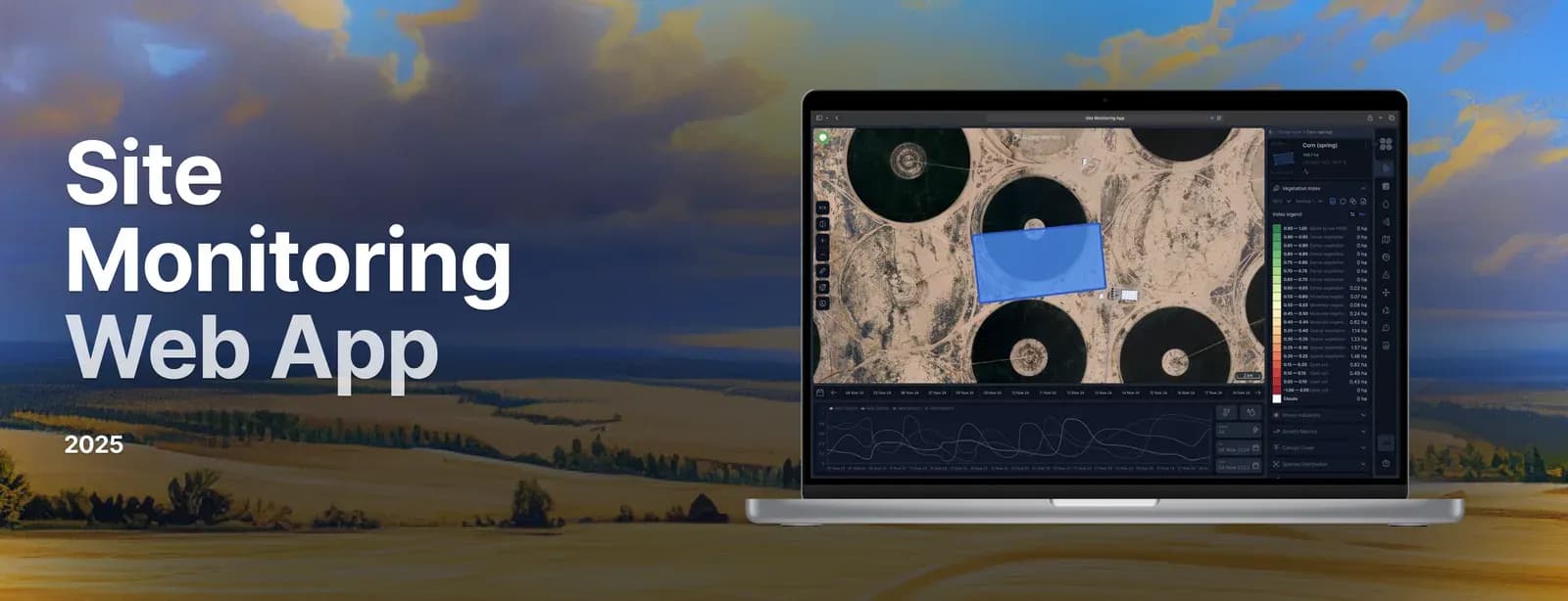
Eine Webplattform, mit der Landwirte, Agronomen und Agrarunternehmen Bestandsgesundheit, Wetterlage, Bodenfeuchte und Höhenverhältnisse aus Satellitenbildern und Umweltdaten beobachten. Daraus werden Echtzeit-Grundlagen für Entscheidungen zu Produktivität und Nachhaltigkeit. Wir bauten eine responsive Webanwendung mit interaktiven Karten, Warnungen und Berichten. Die Daten stammen aus Sentinel-2-Satellitenbildern, der OpenWeather-API und weiteren agronomischen Quellen. Nutzer erkennen die Bestandsentwicklung früh genug, um zu handeln und den Ertrag zu steigern.
Warum wir
Der Entwicklungsprozess umfasste: Geschäftsanalyse und Dokumentation der Systemanforderungen; Modularen Architekturentwurf für Skalierbarkeit und Flexibilität; Backend-Entwicklung mit .NET Core und dem ABP Framework; Frontend-Entwicklung mit Angular; Einbindung von Sentinel-2-Satellitendaten und der OpenWeather-API; Sichere rollenbasierte Authentifizierung über OAuth2.0 und JWT; Tests, QA und Betrieb in der Cloud (AWS).
Ergebnisse
Die Plattform liefert genaue Wetterdaten in Echtzeit. Sie hat verändert, wie in Transport, Landwirtschaft und Rettungsdiensten entschieden wird. Über die Anbindung der Windy-API verfolgen Nutzer Extremwetterereignisse und reagieren rechtzeitig darauf.
Was wir geliefert haben
Entwicklung einer Webplattform, mit der Landwirte, Agronomen und Agrarunternehmen Bestandsgesundheit, Wetterlage, Bodenfeuchte und Höhendaten aus Satellitenbildern und Umweltdaten beobachten. Die Lösung liefert Erkenntnisse in Echtzeit für höhere Produktivität und nachhaltigere Bewirtschaftung.