SoftwareentwicklungGIS & Geospatial
Entwicklung einer Verkaufsplattform für Satellitenbilder
Ein Beratungsunternehmen aus Saudi-Arabien kam auf uns zu, um eine Lösung zu entwickeln, die den Kauf von Satellitenbildern und die Auswertung von Geodaten vereinfacht.
Projektüberblick
Beratungsunternehmen (Saudi-Arabien)
- Location
- Saudi-Arabien
- Team
- Softwareentwickler, GIS-Fachleute und Cloud-Ingenieure. Die Projektleitung koordinierte die Entwicklung, während das technische Team die AWS-Cloud-Dienste aufbaute, die Java-basierten Systeme einband und an der Skalierbarkeit arbeitete. Ein eigenes QA-Team prüfte die Systemleistung.
Stack
- Backend
- .NET
- Frontend
- Angular, Leaflet
Die Aufgabe und was sie gelöst hat
Technical challenge
Echtzeitnahe Datenverarbeitung: Die Plattform musste große Datenmengen verarbeiten und Satellitenbilder nahezu in Echtzeit aktualisieren. Zugänglichkeit: Die Oberfläche musste für Laien funktionieren, ohne die Funktionen zu verlieren, die Fachanwender brauchen. Cloud-Integration: Speicherung und Verarbeitung in der Cloud mussten das Volumen der Satellitenbilder tragen.
Was wir gemacht haben
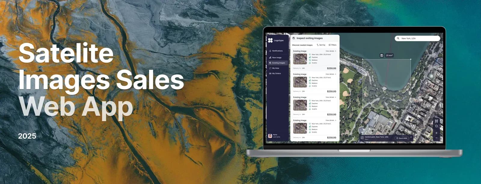
Eine Online-Plattform für Verkauf und Auswertung von Satellitenbildern, mit Suche, Kauf und Analysewerkzeugen. Sie macht Satellitendaten für Unternehmen und Forschung zugänglich, nicht nur für Fachleute.
Warum wir
Der Entwicklungsprozess umfasste: Anforderungsanalyse und Abstimmung mit dem Kunden Entwurf einer skalierbaren Architektur auf Basis von AWS-Cloud-Diensten Entwicklung des Backends mit .Net Frontend-Entwicklung mit Angular Einbindung der Satellitenbildverarbeitung und geodatenanalytischer Werkzeuge Tests und Optimierung für hohe Last
Ergebnisse
Die Plattform ermöglichte dem Beratungsunternehmen ein Angebot, das es in Saudi-Arabien so nicht gab: Satellitenbilder mit angeschlossener Auswertung, für ein breiteres Publikum. Sie wird heute in Landwirtschaft, Stadtplanung und Umweltmonitoring genutzt. Anwender beziehen aktuelle Geodaten und werten sie aus, ohne Fachwissen in der Fernerkundung zu brauchen.
Was wir geliefert haben
Eine Online-Plattform für Verkauf und Auswertung von Satellitenbildern, mit Suche, Kauf und Analysewerkzeugen. Sie macht Satellitendaten für Unternehmen und Forschung zugänglich, nicht nur für Fachleute.