Data ProductionGIS & Geospatial
Building Database Update from Orthophoto
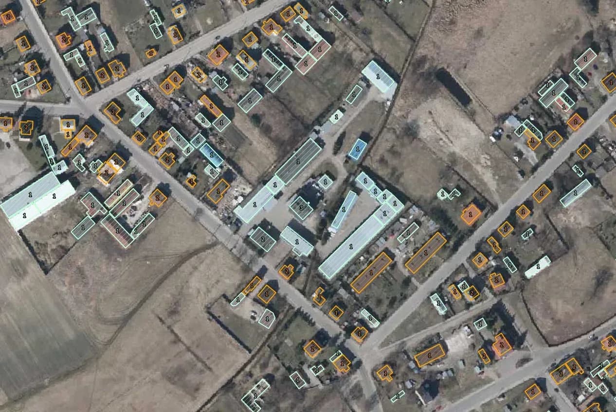
Verifying existing buildings and adding missing ones using orthophoto, Street View and topographic maps, to bring the database back to current.
Project snapshot
Environmental protection company, specializing in air emission measurements, wastewater analysis, waste management, and environmental noise assessment.
- Location
- Poland
- Team
- 8 GIS specialists and a quality controller.
Stack
- Survey & CAD
- The project utilized QGIS as the primary tool for the verification and updating of the building database.
The challenge, and what closed it
Technical challenge
These are specialised maps, and their mapping characteristics set the standard, particularly for the accuracy of building geometries and attributes.
What we did
Verification and update of the building database, including geometry corrections and attribute updates using orthophotos, Street View, and topographic maps.
Why us
Work started by collecting and reading orthophotos, Street View images, and topographic maps to establish the current state of the building database. In QGIS the team verified the existing buildings and found new ones that had never been recorded. Building geometries were corrected where they were wrong. Attributes were updated, including type, purpose, and number of floors. Topology checks removed overlaps, gaps, and other inconsistencies in the spatial data. The attribute database was then verified against the latest information. The area covered was 500+ km².
Results
The building database was updated and now reflects the structures standing in the covered area.
What we delivered
Verification and update of the building database, including geometry corrections and attribute updates using orthophotos, Street View, and topographic maps.