Projects
Projects That Prove the Point
Real deliverables. Real metrics. Real clients.
570+ projects · 12+ countries rework < 7% · industry avg 15–40% bsc+ engineers on every seat named team · nda · secure transfer
Unit
Industry
30 projects
Software Engineering
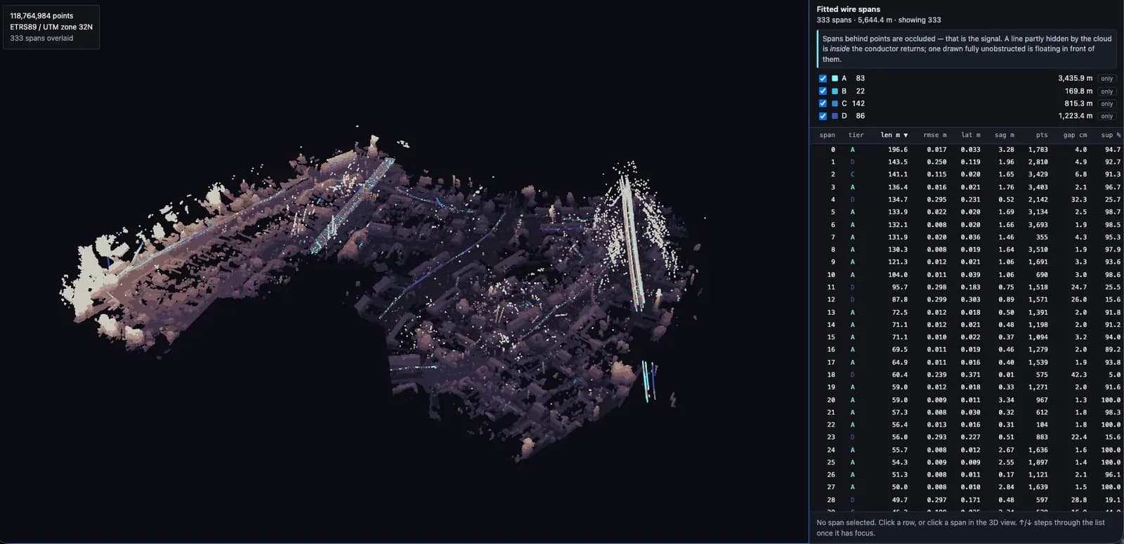
Turning a Mobile LiDAR Survey Into Overhead Line Geometry
5.6 km of conductor from a single survey
A processing chain that takes a raw mobile-mapping point cloud and returns the overhead electrical network as drawable geometry: conductor spans fitted with the curve a hanging cable physically follows, poles as 3D points, and every span carrying its own fit error, sag and support percentage so a reviewer can sort the doubtful ones to the top instead of inspecting all of them.
Software Engineering
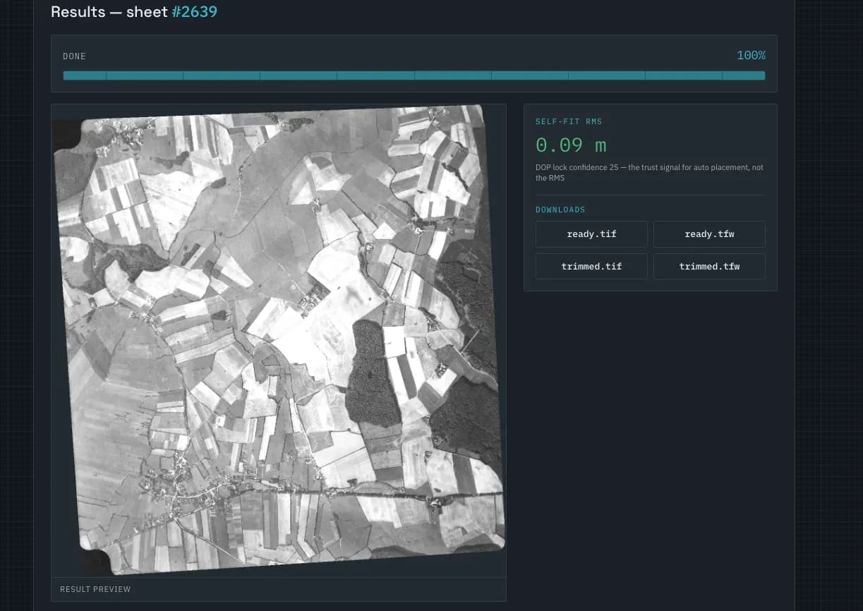
Georeferencing Scanned Aerial Photographs Without an Operator
Unattended, no control points placed by hand
A web tool that pins scanned mid-century aerial photographs onto the modern map on its own. It takes a rough area from the flight logbook, matches the old frame against present-day orthophoto imagery by overall landscape structure rather than by landmarks, and scores how much better the winning placement fits than the ones it rejected. Placements that do not clearly win are refused rather than written out.

Software Engineering
Web-Based Site Suitability Analysis Platform
A multi-criteria site suitability platform for an urban planning and development organisation in Saudi Arabia.
Data Production
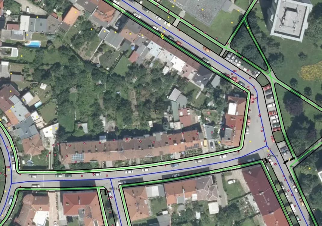
Create a road map and road signs
A detailed 2D vector map of Prostejov for our Czech partners: communication lines, sidewalks, bike paths, parking and road signs with orientation.
Data Production
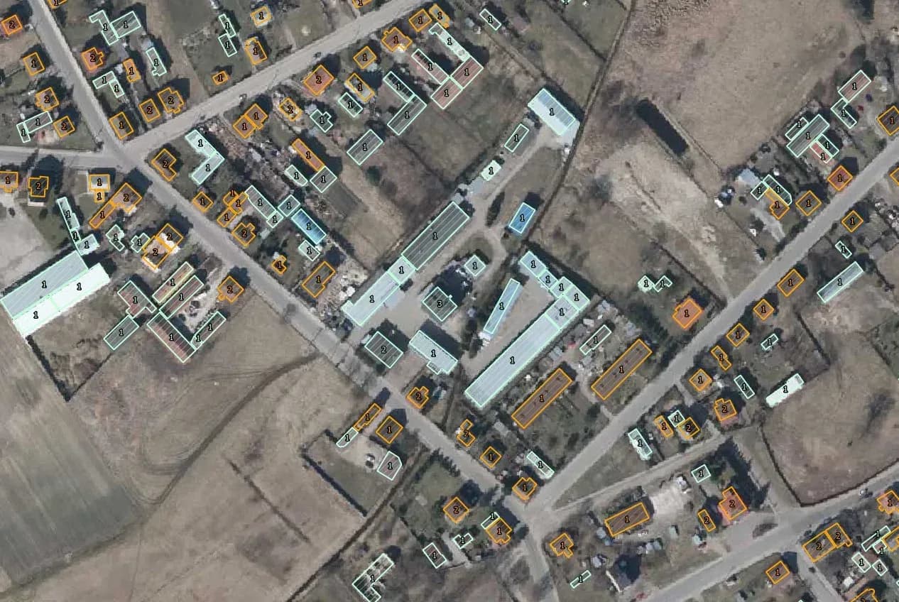
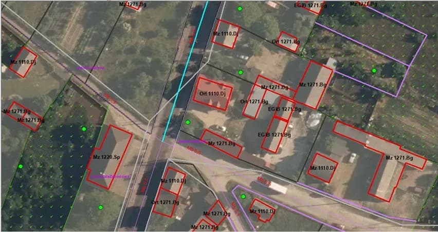
Building Database Update from Orthophoto
Verifying existing buildings and adding missing ones using orthophoto, Street View and topographic maps, to bring the database back to current.
Data Production
Topographic Database Update at 1:10,000
Updating a topographic database from orthophotomaps across 17,000 km²: verifying existing objects, correcting them and adding what was missing.
Software Engineering
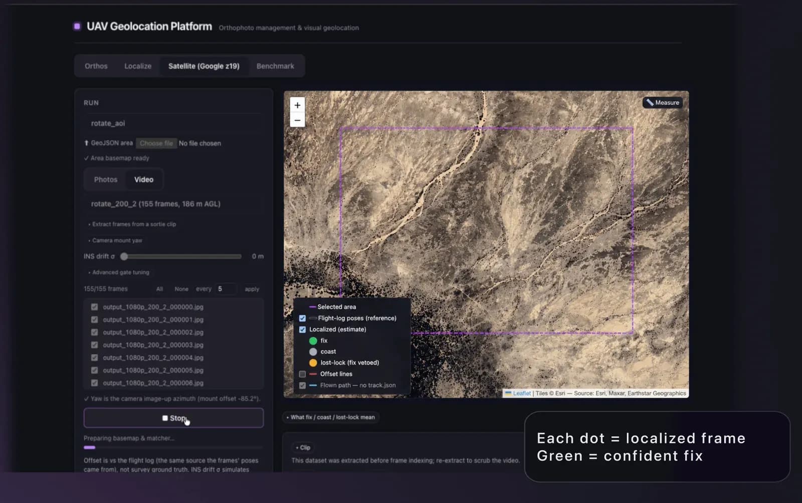
Locating Drone Imagery Without GPS
A validated proof of concept that locates a drone photo with no satellite fix, matching it against a georeferenced orthophoto to return WGS84.
Data Production
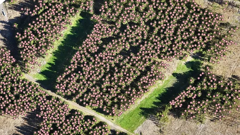
Automatic tree recognition from orthophotos
We built a system that automates forest inventory. Using geoinformation technologies and machine learning, it locates trees accurately and quickly over large areas.
Data Production
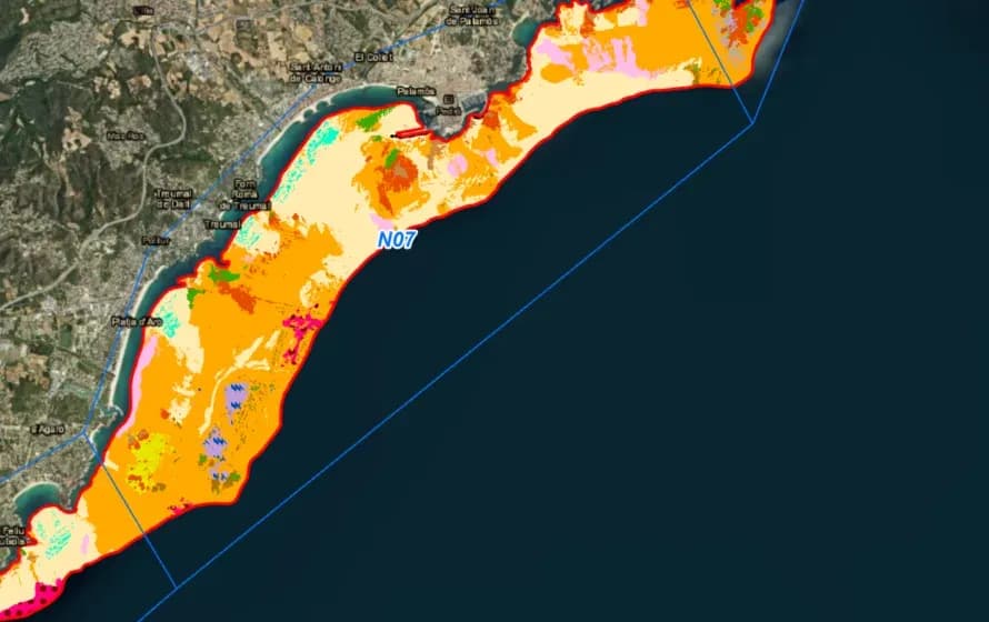
Topological Verification and Correction
GIS-Point worked with a seabed mapping company on the accuracy and reliability of their geospatial data.