

Choose GIS-Point – Structural Drafting and Modeling You Can Build On
GIS-Point offers 2D drafting and 3D modeling for construction and infrastructure—integrating designs into GIS, BIM, and engineering workflows to streamline execution and asset management.
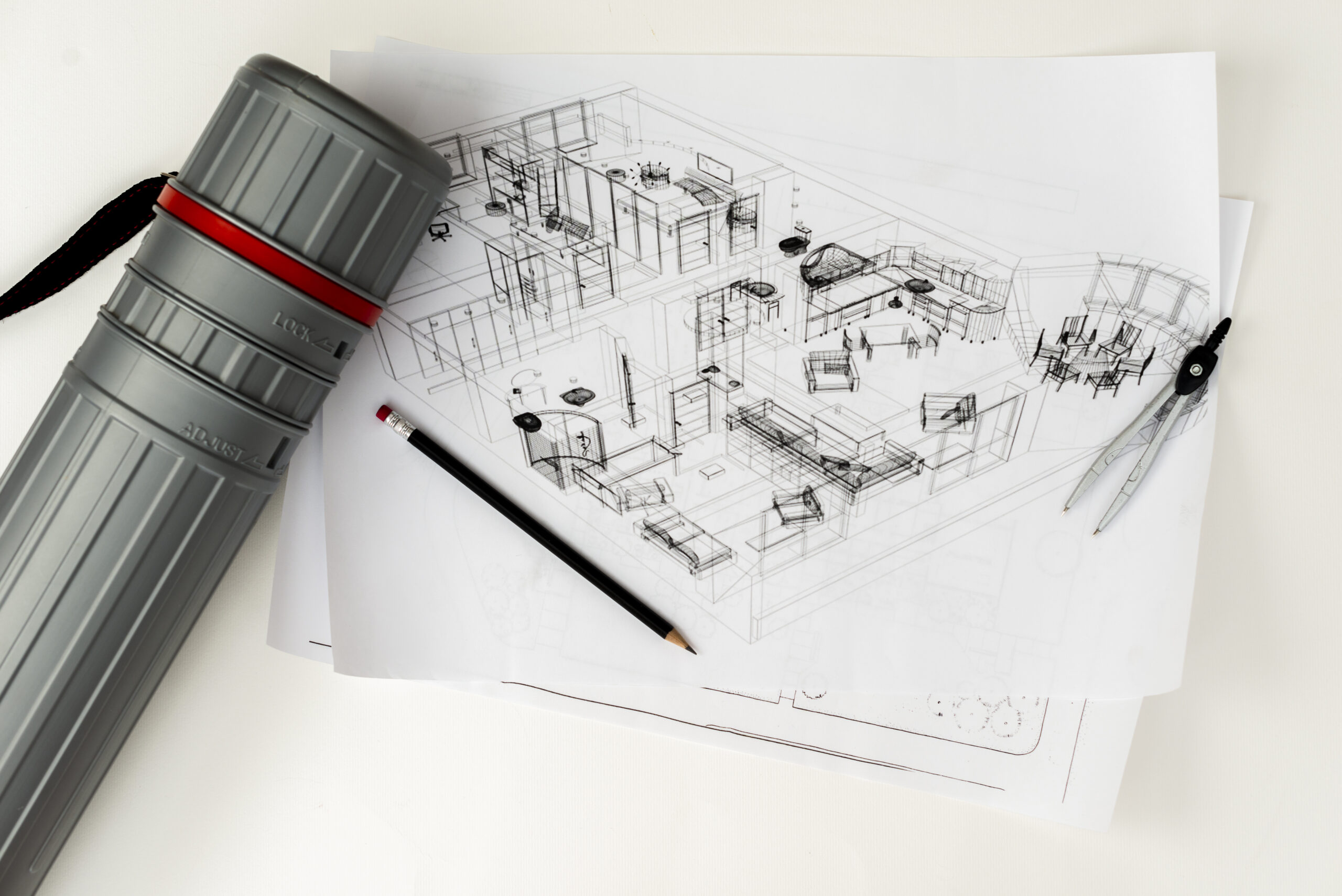
What Are Structural Drafting and Modeling Services?
GIS-Point provides high-precision structural drafting and modeling services for buildings, infrastructure, and assets. We produce detailed 2D construction drawings and accurate 3D models for design coordination, compliance, and planning. Our services cover everything from foundations and framing to complex infrastructure assets like bridges, tunnels, and energy systems — all fully compatible with BIM, CAD, and GIS platforms.
We also offer structural analysis, digital twin integration, and documentation for construction and facility management. Whether you need as-built plans, renovation support, or lifecycle asset modeling, GIS-Point ensures your structures are well-documented, regulation-ready, and optimized for long-term performance.
Our Structural Drafting and Modeling Solutions

- 2D Structural Drafting – Developing detailed construction drawings, including foundations, beams, columns, and load-bearing structures for engineering and compliance.
- 3D Structural Modeling – Creating precise 3D models for improved visualization, design coordination, and planning across various industries.
- BIM Integration & Digital Twin Creation – Incorporating structural models into BIM systems for real-time collaboration, automated updates, and lifecycle asset management.
- Structural Analysis & Simulation – Conducting stress testing, load-bearing analysis, and material simulations to assess structural integrity.
- Construction Documentation & Compliance – Providing permitting documents, material specifications, and regulatory compliance reports for seamless project approval.
- Infrastructure Asset Modeling – Mapping bridges, tunnels, roads, energy grids, and utility networks into GIS-compatible structural models for monitoring and planning.
- Facility Management & Renovation Planning – Delivering as-built models, retrofitting plans, and maintenance documentation for large-scale commercial, industrial, and municipal buildings.
Enhance Your Structural Design & Engineering with GIS-Point
Optimize your construction, infrastructure, and asset management projects with high-accuracy drafting and modeling solutions. Contact GIS-Point today to get started!
Industries we serve

Construction & Architecture

Infrastructure & Transportation

Energy & Utilities

Government & Municipalities

Mining & Natural Resource Management

Telecommunications

Facility & Asset Management
Working on the Project:
A Step-by-Step Journey to Success
PREPARATION
task, provide samples, templates,
instructions.
PILOT PROJECT
for FREE, according to all your
instructions.
AGREEMENT
the cost of further work
LET’S STARTED!
NDA, after which our team gets to
work.
Success Stories: How Our Clients Achieved Results with Our GIS Solutions
-
Location:
Czech Republic
To create a digital 3D map from mobile lidar scanning data and panoramic imagery.


-
Location:
Czech Republic
The input data is a cloud of Lidar points obtained using mobile Lidar scanning, as well as orthophoto maps, 360 panoramic photos. -
Location:
Lviv, Ukraine
3D laser scanning of the object, namely the T1416 overpass over the railway track, and the creation of its BIM-model

-
Location:
Lviv, Ukraine
3D laser scanning and creating BIM-model of an object.


-
Location:
Lviv, Ukraine
3D laser scanning of the object, namely the T1416 overpass over the railway track, and the creation of its BIM-model
-
Location:
Ukraine
Accurate and detailed DTM representing the terrain features of the surveyed area.

-
Location:
Germany
Automatic Tree Recognition with ArcGIS Pro is a project that aims to develop and implement an algorithm for automatic recognition of tree species based on remote sensing data.

-
Location:
Canada
The project encompasses the digitization of utility service connections, specifically for water, sewer, and storm services, spanning across 12,706 properties (parcels) within the City.


-
Location:
Poland
Using an orthophotomap, we check the relevance of the existing topographic objects in the database, as well as create new ones (which are not in the existing database).

-
Location:
Czech Republic, Prostejov
To create a 2D vector map in the city of Prostejov that includes road infrastructure and road signs.


Need structural models that meet both engineering standards and project deadlines?
Partner with GIS-Point for precise drafting and intelligent modeling solutions.

Customers have no doubt about our expertise
Our team of professionals

Ievgen Lavrishko

Khrystyna Bochko

Alevtyna Kostianchuk

Andriiana Pavlyshyn

Roman Nahaiovskyi

Maria Kizim

Ivanna Soltys
Why Choose GIS-Point?

-
Dedicated GIS & IT Teams
Offering full-service drafting and modeling teams or team augmentation for project scalability.
-
Precision & Compliance
Ensuring structural accuracy, adherence to engineering standards, and regulatory compliance.
-
Seamless GIS & BIM Integration
Enabling cross-platform data compatibility for enhanced asset management.
-
Advanced Simulation & Analysis
Utilizing cutting-edge modeling software for structural performance testing and optimization.
-
Fast & Reliable Delivery
Providing timely documentation and models to keep projects on schedule.
Contact us today to start your project!
United Kingdom
Devonshire str., 41, Ground Floor, London W1G 7AJ, UK
Estonia
Harju maakond, Tallinn, Kesklinna linnaosa, Kaupmehe tn 7-120, 10114, Estonia
Ukraine
Ukraine, Lviv, Sadova street, 2a/1
+380672088520 Ievgen Lavrishko
info@gis-point.com


