Data ProductionGIS & Geospatial
Processing of cadastral plots
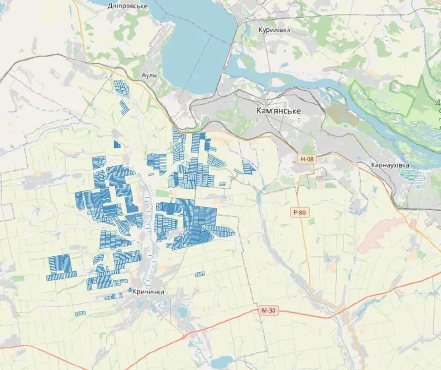
GisPoint converted cadastral files from DMF to Shapefile format. Beyond the conversion itself, the task was to carry every required attribute across for each land plot.
Project snapshot
A company that provides a platform for investing in agriculture.
- Location
- Ukraine
- Team
- GisPoint GIS specialists spent more than 4 months on this project, working in QGIS.
Stack
- Survey & CAD
- QGIS was the tool for this project. It handles spatial data well and covers the processing, analysis, and visualisation the work needed. Specialised modules converted the data from DMF to Shapefile, and QGIS tooling corrected the topological errors that came up along the way.
The challenge, and what closed it
Technical challenge
GisPoint and our specialists faced a number of demands on this project. The main ones: Converting the land plots without topological errors such as cuts or overlaps. Carrying every specified attribute across for each land plot.
What we did
Data verification. Geometric correction. Attribute enrichment. Quality assurance.
Why us
The data was collected from state registers, so it is current and traceable. It was processed in QGIS, with attention on topological integrity and on avoiding overlaps or cuts within the plots.
Results
The project finished on time, with all 115,000 land plots converted to Shapefile format and every required attribute in place. The output met the client’s requirements.
What we delivered
Data Verification
Geometric Correction
Attribute Enrichment
Quality Assurance