Software EngineeringAgriculture & AgriTech
Digital Soil Mapping Platform
The client needed a tool to centralize and visualize soil information gathered from research sites, remote sensing, and predictive soil models. , 0–5 cm, 5–15 cm), with support for interactive querying and downloadable data outputs.
Project snapshot
Agricultural Research and Development Organization
- Location
- Saudi Arabia
- Team
- Software developers, remote sensing specialists, and cloud engineers. The project manager ran the agile development cycle and delivered against client requirements iteratively. The backend team used .NET Core and the ABP Framework for data processing and user management; the frontend team built the interactive experience in Angular. DevOps handled cloud infrastructure scale and performance.
Stack
- Backend
- .NET, ABP Framework
- Frontend
- Angular, Leaflet
- Infrastructure
- Docker
The challenge, and what closed it
Technical challenge
Depth-Aware Visualization: soil properties vary vertically as well as geographically, and the map had to show both. Data Volume and Aggregation: serving high-resolution soil maps without losing responsiveness. Flexible Dataset Management: non-technical admins upload and manage layered soil data across several formats.
What we did
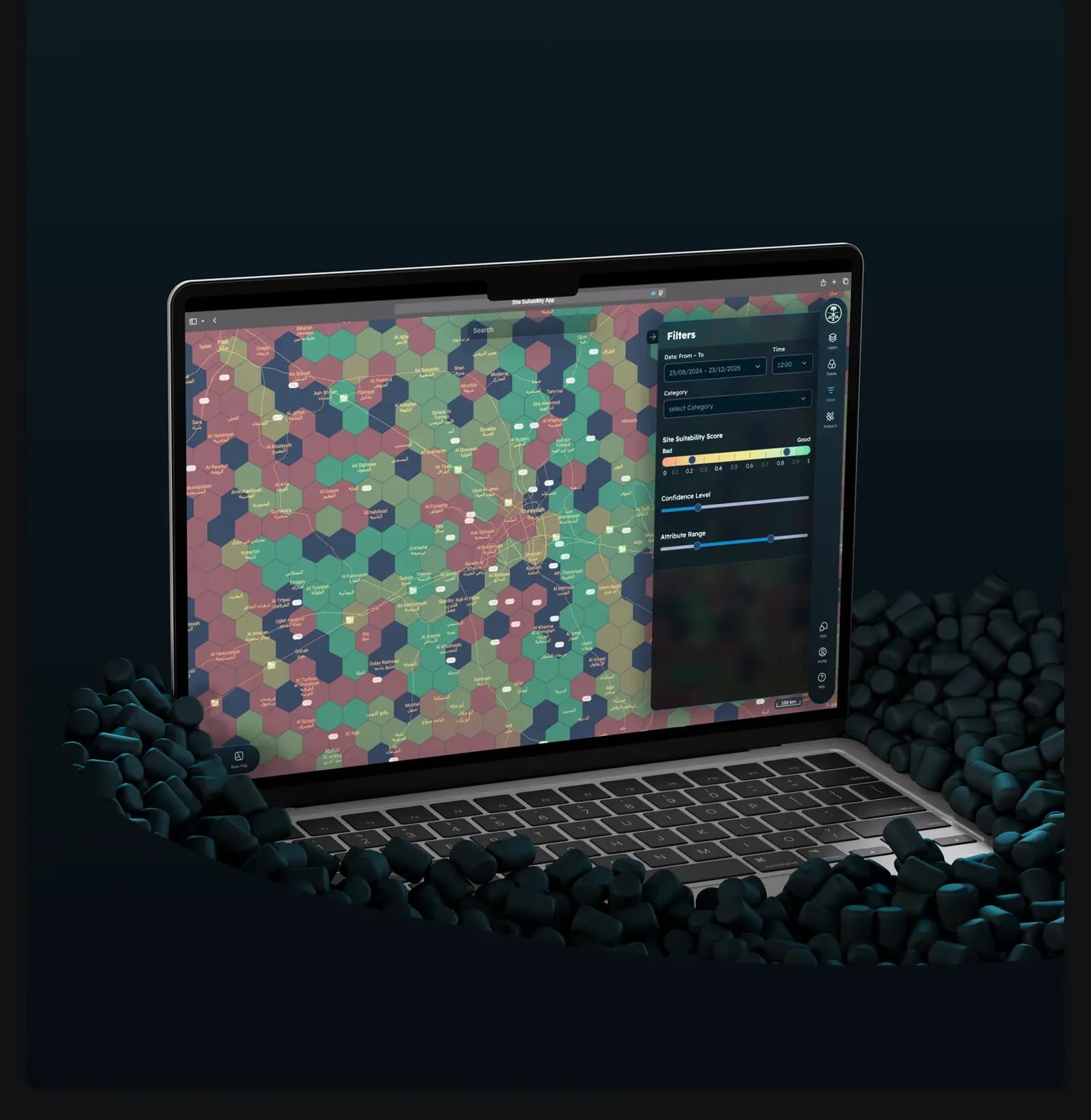
SoilHub is a web system for the agricultural industry to view, analyse, and manage digital soil data. It maps soil by depth on a hexagon grid, with soil property graphs, search, and dataset management. We built a map-driven web app with a hexagon grid overlay, where each hex is a geographic unit carrying soil properties such as pH, organic carbon, texture, and moisture. Selecting a hex and a depth layer brings up the charts for it, shows how the property is distributed, and compares layers over time. An admin panel manages soil datasets, metadata, and UI content on the backend, so map layers and dataset models can be updated quickly.
Why us
Discovery phase with domain experts to define the soil data model and depth segmentation; Map integration on Leaflet with a custom hexagonal tiling engine; Backend services for serving and caching soil property data; Admin panel with authentication and dataset CRUD; Per-depth soil property charts; Testing with sample datasets across scales and depth levels; Deployment to a cloud environment built to scale.
Results
SoilHub puts digital soil mapping in one place, showing soil properties both across an area and down through it. Researchers, agronomists, and policymakers use it to assess land suitability, track degradation, and decide how land is managed.
What we delivered
SoilHub is a web system for the agricultural industry to view, analyse, and manage digital soil data. It maps soil by depth on a hexagon grid, with soil property graphs, search, and dataset management.