

Choose GIS-Point – LiDAR Expertise for Transport Infrastructure
GIS-Point delivers high-resolution LiDAR data for transportation projects – supporting corridor assessment, clearance checks, safety audits, and maintenance planning to enable smarter decisions throughout the project lifecycle.
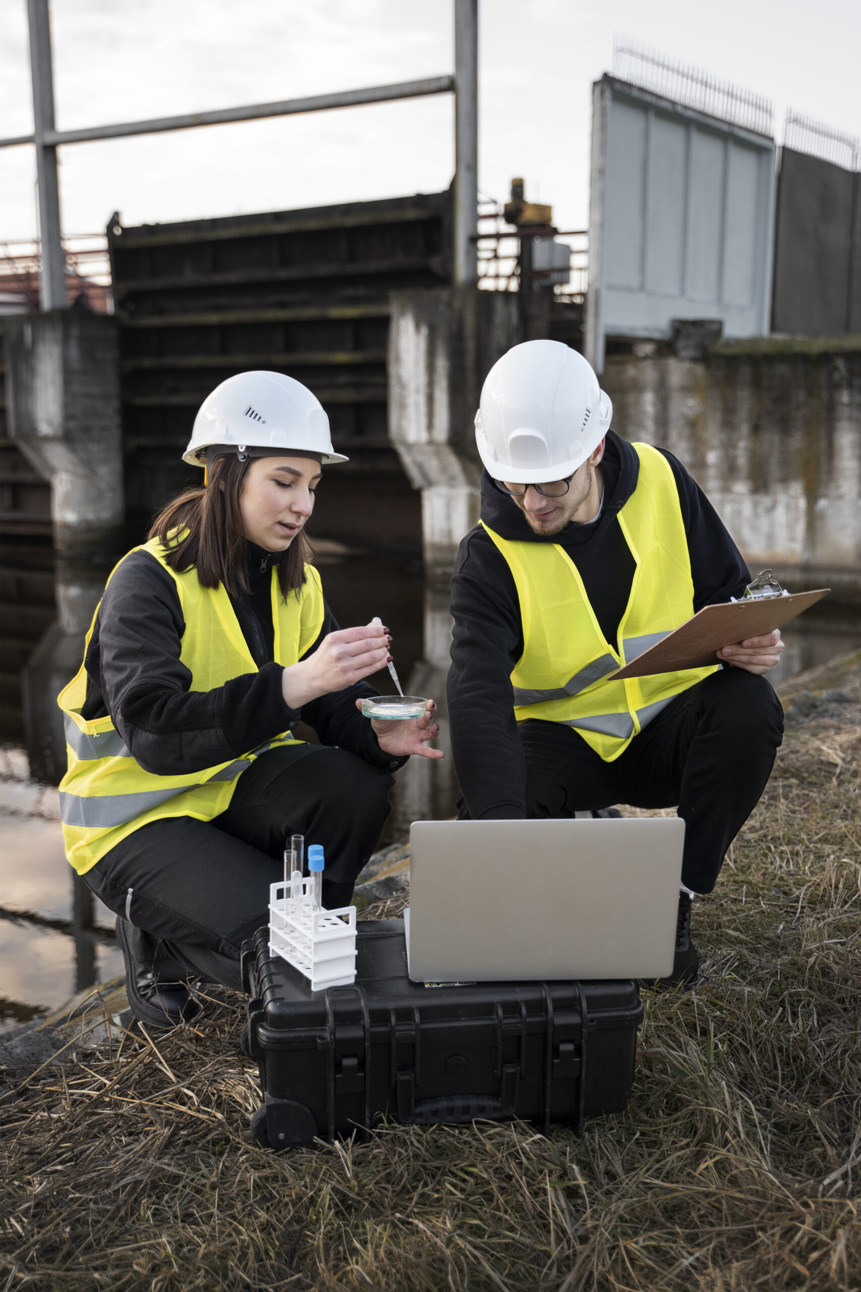
What is LiDAR-Based Analysis for Railways and Roads?
We provide high-precision LiDAR-based analysis for railway and roadway corridors, offering detailed geospatial data to support infrastructure assessment, clearance analysis, and safety evaluation. Our solutions deliver accurate 3D models and elevation profiles that help identify structural issues, monitor conditions, and ensure regulatory compliance.
Whether it’s for new construction, routine maintenance, or corridor expansion, our LiDAR services improve operational efficiency and decision-making. With reliable spatial insights, engineers and planners can reduce risks, optimize resources, and streamline every phase of the transportation project lifecycle.

Our Solutions

- Track & Roadway Condition Monitoring – Identifying surface degradation, wear, and alignment issues for railways and roads.
- Infrastructure Mapping & Classification – Mapping bridges, tunnels, interchanges, and signage to support urban planning and safety measures.
- Environmental & Terrain Mapping – Detecting natural features, slopes, vegetation, and environmental hazards affecting infrastructure.
- Custom Data Processing & GIS Integration – Delivering tailored data outputs compatible with GIS, CAD, and other planning tools for seamless workflows.
Optimize Your Transport Infrastructure with Advanced LiDAR Analysis
Reach out to GIS-Point today to explore how our services can enhance the planning, maintenance, and safety of both your railway and road networks!
Industries we serve

Railway & Road Network Expansion

Maintenance & Inspection

Safety & Risk Management

Urban & Environmental Planning
Working on the Project:
A Step-by-Step Journey to Success
PREPARATION
task, provide samples, templates,
instructions.
PILOT PROJECT
for FREE, according to all your
instructions.
AGREEMENT
the cost of further work
LET’S STARTED!
NDA, after which our team gets to
work.
Success Stories: How Our Clients Achieved Results with Our GIS Solutions
-
Location:
Czech Republic
To create a digital 3D map from mobile lidar scanning data and panoramic imagery.


-
Location:
Czech Republic
The input data is a cloud of Lidar points obtained using mobile Lidar scanning, as well as orthophoto maps, 360 panoramic photos. -
Location:
Lviv, Ukraine
3D laser scanning of the object, namely the T1416 overpass over the railway track, and the creation of its BIM-model

-
Location:
Lviv, Ukraine
3D laser scanning and creating BIM-model of an object.


-
Location:
Lviv, Ukraine
3D laser scanning of the object, namely the T1416 overpass over the railway track, and the creation of its BIM-model
-
Location:
Ukraine
Accurate and detailed DTM representing the terrain features of the surveyed area.

-
Location:
Germany
Automatic Tree Recognition with ArcGIS Pro is a project that aims to develop and implement an algorithm for automatic recognition of tree species based on remote sensing data.

-
Location:
Canada
The project encompasses the digitization of utility service connections, specifically for water, sewer, and storm services, spanning across 12,706 properties (parcels) within the City.


-
Location:
Poland
Using an orthophotomap, we check the relevance of the existing topographic objects in the database, as well as create new ones (which are not in the existing database).

-
Location:
Czech Republic, Prostejov
To create a 2D vector map in the city of Prostejov that includes road infrastructure and road signs.


Planning a railway or road project? Contact us to get precise LiDAR data for smarter infrastructure decisions.

Customers have no doubt about our expertise
Our team of professionals

Ievgen Lavrishko

Khrystyna Bochko

Alevtyna Kostianchuk

Andriiana Pavlyshyn

Roman Nahaiovskyi

Maria Kizim

Ivanna Soltys
Why Choose GIS-Point?
-
Tailored Solutions
Custom processing designed for both railway and road projects to meet specific technical requirements.
-
Seamless GIS Integration
We provide highly accurate LiDAR data integrated directly into GIS systems, enabling real-time spatial analytics and interactive mapping.
-
Efficient Turnaround
Fast, high-precision data delivery to keep up with time-sensitive projects.
-
Comprehensive Compatibility
Data outputs compatible with GIS, CAD, BIM, and infrastructure planning software for smooth project execution.
-
Enhanced Safety & Planning
Improve infrastructure resilience, optimize resource allocation, and make data-driven decisions with confidence.
Contact us today to start your project!
United Kingdom
Devonshire str., 41, Ground Floor, London W1G 7AJ, UK
Estonia
Harju maakond, Tallinn, Kesklinna linnaosa, Kaupmehe tn 7-120, 10114, Estonia
Ukraine
Ukraine, Lviv, Sadova street, 2a/1
+380672088520 Ievgen Lavrishko
info@gis-point.com