

How Farmers Predict Rain Before Weather Apps – Thanks to a Custom Agro-Meteorological Platform
by Ievhen Lavrishko, CEO Gis-Point
When Weather Decides the Fate of the Harvest
In agriculture, timing is everything.
Irrigation, spraying, harvesting – every operation depends on the weather. And yet, most farmers rely on generalized forecasts that cover 20–30 km and ignore the unique microclimate of each field.
In regions where a few hours’ difference can mean saved crops or lost yield, generic weather apps are no longer enough.
Farmers need hyperlocal, actionable insights – data that speaks the language of their land.
I’ve spent years in agro-consulting, and I can always tell when a tool truly solves problems – and when it’s just another dashboard with pretty icons.
We had farmers asking:
- “What’s the dew point in this exact row of the vineyard?”
- “Can I spray tomorrow morning, or will a thunderstorm ruin everything by noon?”
Standard weather apps couldn’t answer.
- Forecasts were too broad
- Alerts came too late
- Agronomists were wasting hours toggling between multiple tools and group chats
I remember one case: a client was about to start mechanical pruning. Our prototype alert sent a hail warning. They paused operations. One hour later, hail hit. That wasn’t luck – that was data turned into action.
Traditional weather services are designed for cities, airports, or tourists – not farms.
- 🌩 Forecasts cover huge areas, making them nearly useless for a specific 80-hectare plot
- ⏳ Delays in alerts cause farmers to miss critical action windows
- 🤯 Data overload without context leaves agronomists interpreting, not acting
The real cost isn’t the subscription – it’s the hours lost and yield reduced due to reactive decisions.
In high-value crops like orchards, vineyards, or vegetables, a single mistimed spray or irrigation can cost thousands.
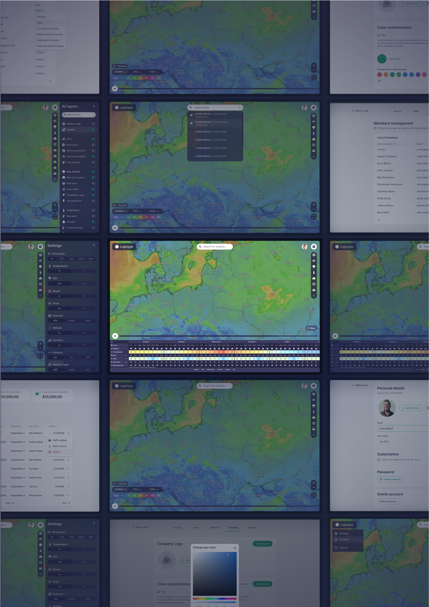
Together with GIS-Point, we developed a custom agro-meteorological platform that translates weather into decisions.
Key features include:
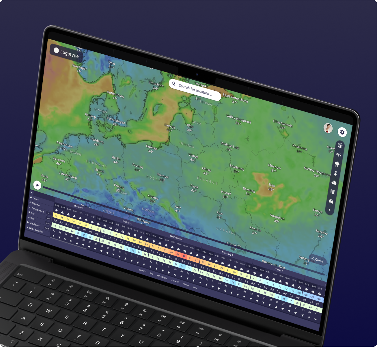
- Hyperlocal forecasting – storm, wind, humidity, and precipitation mapped to your exact field
- Dynamic weather layers – temperature, wind speed, dew point, and pressure per field
- Real-time alerts – mobile notifications before clouds appear
- Full field-level customization – frost alerts, custom humidity thresholds, multi-language support
It’s not another weather app – it’s a decision-making tool designed for those whose income depends on the sky.
One of our clients – a leading horticulture and grain consultancy – now uses the platform to make hourly field-level decisions.
- Orchard managers delayed irrigation due to a humidity alert – saving water and reducing crop stress
- Grain producers planned harvests around hyperlocal wind patterns – avoiding spoilage
- Agroholdings scheduled spraying windows with confidence, minimizing pesticide loss
The result? Higher yield protection, resource efficiency, and operational peace of mind.
Clients no longer just “check the weather” – they act on it.
This platform isn’t just about rain alerts – it’s about transforming agriculture with automation and data:
- 🌍 Global challenge, local action – precision weather supports food security under climate change
- 💧 Water efficiency – irrigation is timed to real soil and canopy conditions
- ⚡ Proactive crop management – disease prevention instead of damage control
- 📊 Integration with agri-tech ecosystems – via API to existing farm management tools
Every feature is designed to turn information into action, helping farms scale without adding complexity.
The platform adapts to each farm’s growth and complexity:
- Add new fields and regions instantly
- Configure role-based access for expanding teams
- Integrate national weather feeds or private sensors
- Use multi-language interface and mobile-first alerts
It’s future-proof, fitting into the farmer’s daily workflow instead of demanding a new one.

From geospatial mapping to precision weather and data-driven decision platforms, our mission is to help farmers and agri-companies see earlier, act faster, and waste less.
At GIS-Point, we combine engineering, geodata, and practical agro experience to deliver solutions that turn uncertainty into confident action.
Whether it’s satellite monitoring, LiDAR analytics, or hyperlocal weather, our tools are designed to create measurable business impact.
The Future of Agriculture: See Earlier, Act Faster
Agriculture is entering a new era where generic forecasts are not enough.
With hyperlocal, automated weather intelligence, farmers don’t just check the weather – they manage it.
This is how timely data becomes yield, savings, and sustainability.
Ready to see what’s happening in your fields—before it becomes a problem?
Let’s explore how satellite-based monitoring could work for your specific region and crops.
I offer a free 30-minute consultation to walk you through a demo using your own fields. No pressure, no obligations—just a clear look at how data can transform your farm’s future.