We are helping companies to save hundreds of thousands on outsourcing of Geospatial Services (including LiDAR, GIS Data Mapping and BIM-modelling).
Who We Are
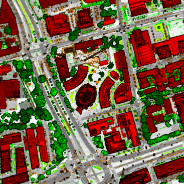
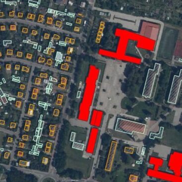
GISpoint – a team of specialists that has been digitizing topographic maps for companies in Europe, the USA and Canada for 4 years! During that time, we managed to complete about 20+ projects for the European and American markets!
You can reduce your budget by up to 30% and increase your chances of winning the tender by entrusting work to our specialists. Our team quickly adapts to customer needs and conducts additional training in the shortest possible time with maximum efficiency – training lasts up to 1 week. Which does not affect the overall cost of the project!
We use only specialized programs with extensive functionality Bentley MicroStation, Terrasolid, Qgis, GEO-info and others, so you can be sure that you will receive data that is 100% accurate!
We want to be the best in what we do and to work with the best GIS companies. That is why we focus on a small amount of technologies and have an extremely thorough process of hiring. Our employees are motivated, productive and highly capable.
Every day we flawlessly and efficiently carry out a large number of projects!
Don’t hesitate to contact us.


Our Services

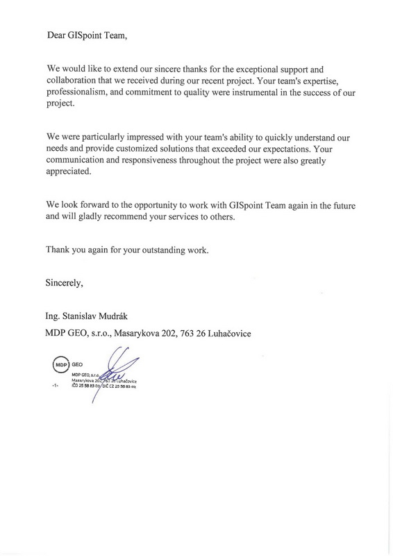
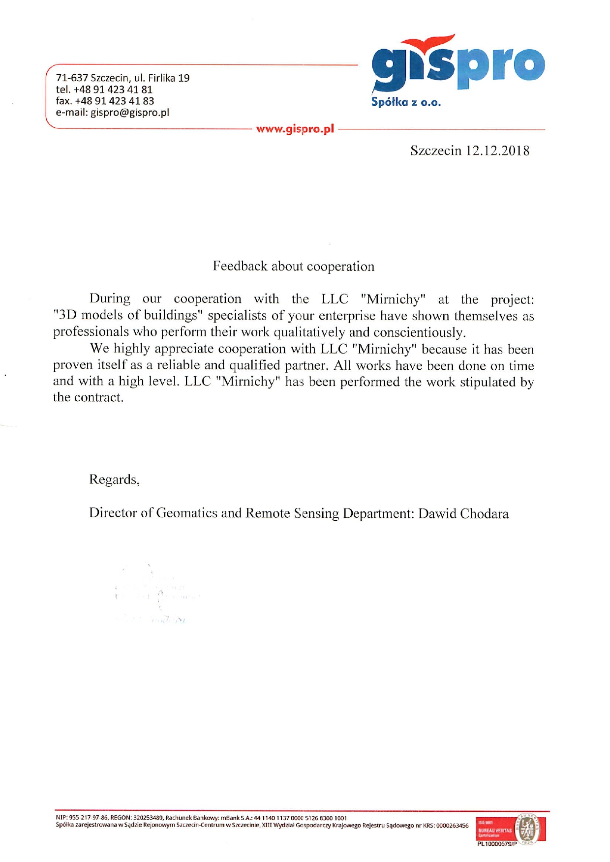
Reviews
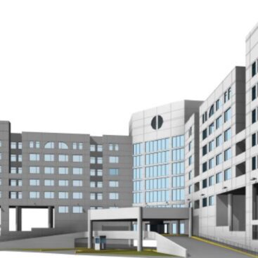
During our cooperation with the LLC “Mirnichy” at the project: “3D Models of buildings” specialists of your enterprise have shown themselves as professionals who perform their work qualitatively and conscientiously.
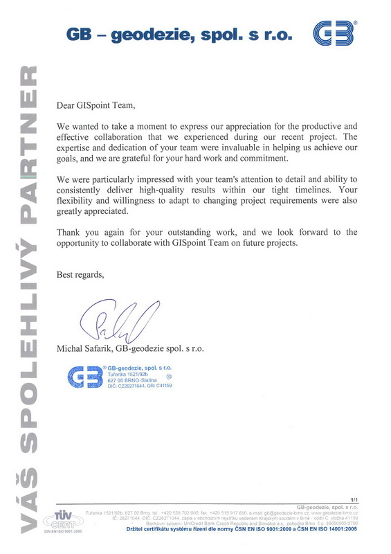
Why highly appreciate cooperation with LLC “Mirnichy” because it has been proven itself as a reliable and qualified partner. All works have been done on time and with a high level. LLC “Mirnichy” has been performed the work stipulated by the contract.