


We will perform BIM modeling and 3D laser scanning specifically for your object!
Who We Are
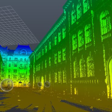
GISPOINT is an Ukrainian engineering company provides services for creating BIM-models, dimensional drawings and laser 3D scanning of:
- facades;
- residential buildings;
- industrial facilities;
- infrastructure elements;
- engineering structures, etc.
Our specialists have extensive experience in creating BIM-models of various objects. For instance, Lviv Insulator Company, Lviv Organ Hall, Kulparkivskyi Bridge (Lviv), Zaporizhzhia Coke Plant, etc.
We create digital 3D models and BIM-models suitable for import into software packages (CAD, 3D MAX, DGN), which are used for the design and modeling of architectural objects and industrial.
GISPOINT provides creating BIM-models and dimensional drawings at reasonable prices and quickly performs data acquisition and processing.
We are chosen by leading international companies and Ukrainian ! For 3 years we have successfully performed 3D laser scanning and creating BIM-models of more than 30 objects for Germany, Poland, Canadian and Ukrainian companies!
Don’t hesitate to contact us.


Our products
We offer a wide range of products plotted or generated from the point cloud data including:
Areas of use:

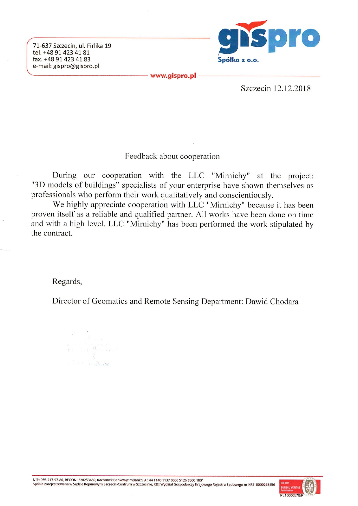
Reviews
During our cooperation with the LLC “Mirnichy” at the project: “3D Models of buildings” specialists of your enterprise have shown themselves as professionals who perform their work qualitatively and conscientiously.
Why highly appreciate cooperation with LLC “Mirnichy” because it has been proven itself as a reliable and qualified partner. All works have been done on time and with a high level. LLC “Mirnichy” has been performed the work stipulated by the contract.


